About this app
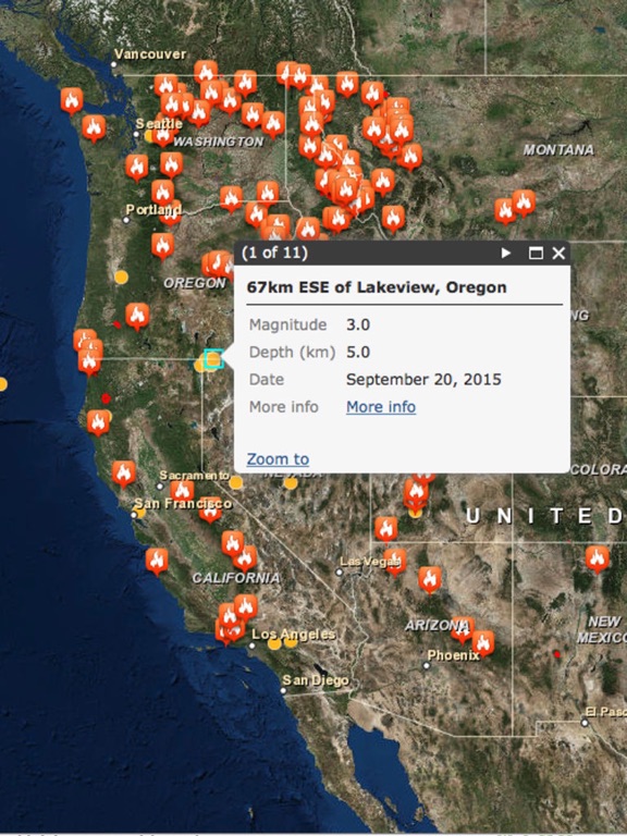
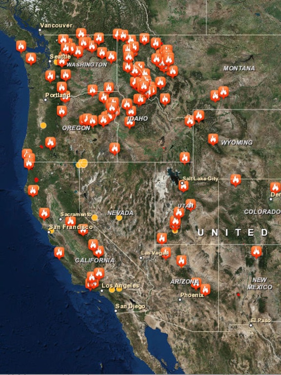
The Wildfire and Earthquake Tracker is an interactive mapping application that tracks US wildfires and Global earthquakes. The data feed comes from the USGS and and US Forestry Service. This map provides you with up to the minute data and access to global wildfire's as well as reported earthquakes. -Wildfire Information and Location -Earthquake Information and Location -GPS integration -Interactive Map -Map Tables with data analysis
Latest release
What’s New
Bug Fixes
Audience growth
Ratings growth
Baseline captured. Growth appears after the crawler observes a changed rating count.
Momentum comes from crawler snapshots for the tracked storefront. “Viral growth signal” means unusually fast recent rating gains; it is an indicator, not download data.
Price tracking
Price intelligence
- First observed Aug 12, 2026 · 5:09 AM Free
Screenshots