About this app
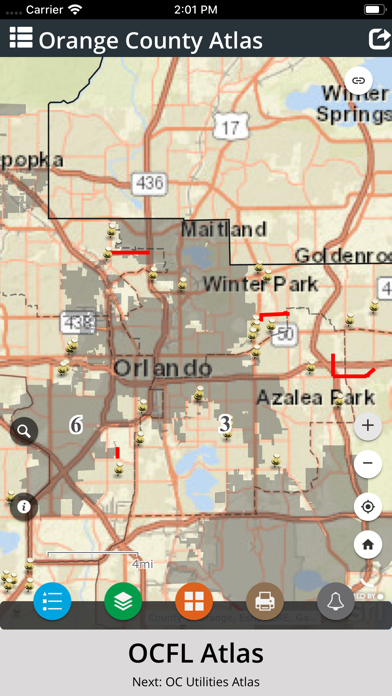
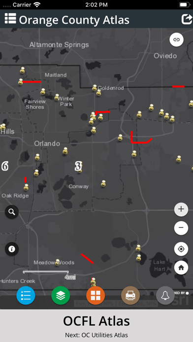
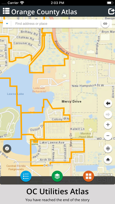
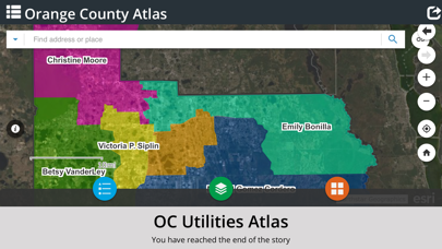
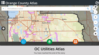
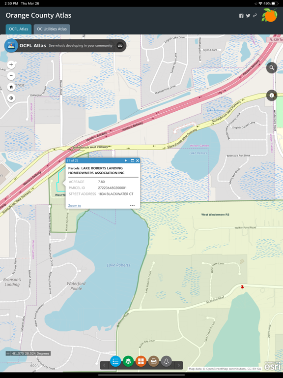
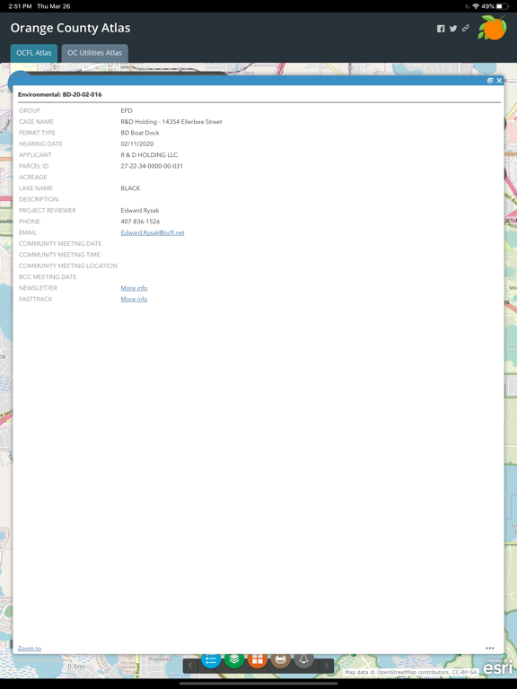
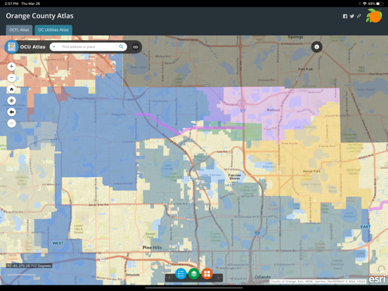
OCFL Atlas is an application that encourages citizens to become more engaged in the growth of their community by pinpointing new construction projects in Orange County. This app offers citizens the ability to access real-time development data, board meeting details and project locations. Users can zoom into their current location, search by address or pan around Orange County to see new projects. Public notification is required for development applications to ensure citizens have the opportunity to express opinions prior to a public hearing. OCFL Atlas is designed to work on most devices including desktop computers, smartphones and tablets.
Latest release
What’s New
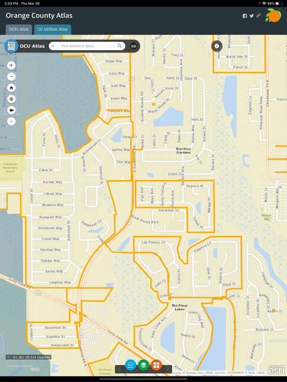
Bug fixes: - Fixed issue with inability to select layers for the Utilities map
Audience growth
Ratings growth
Baseline captured. Growth appears after the crawler observes a changed rating count.
Momentum comes from crawler snapshots for the tracked storefront. “Viral growth signal” means unusually fast recent rating gains; it is an indicator, not download data.
Price tracking
Price intelligence
First snapshot captured. The trend line starts after the next crawler price observation.
- First observed Aug 13, 2026 · 12:55 AM Free
Screenshots