About this app
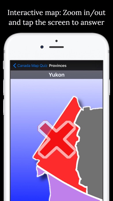
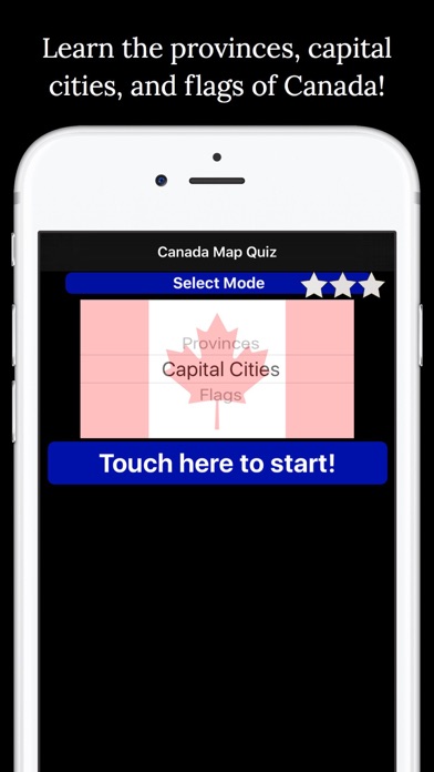
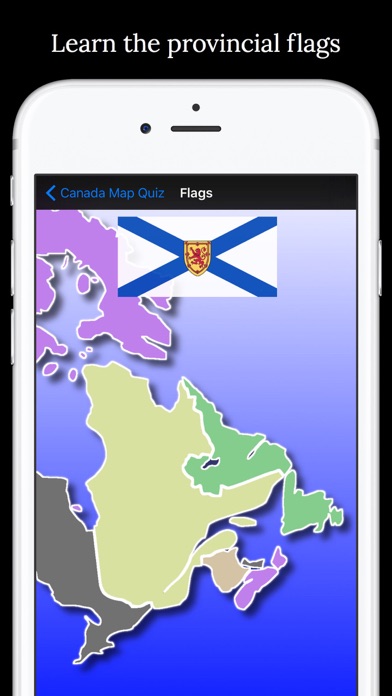
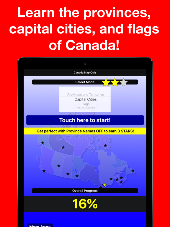
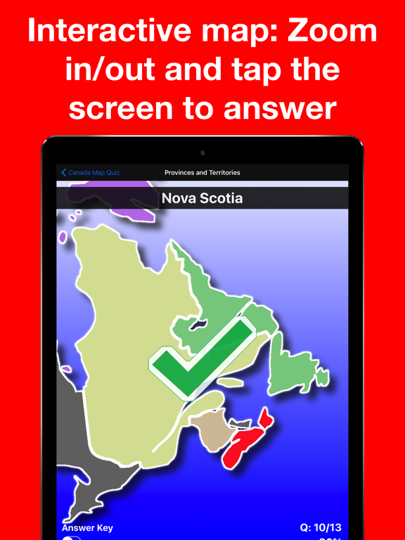
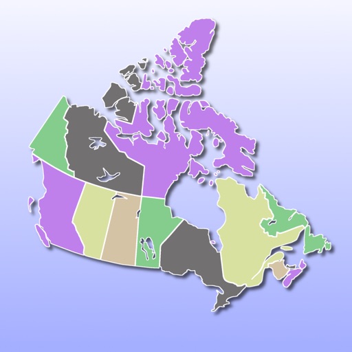
• Select the correct answer on a scrollable, high-resolution image of Canada • A star system tracks your progress in each mode, and a percentage meter tracks your overall progress in the app • Answer keys for each mode. Careful, your star score won't be saved if you use it! • A final exam that combines all of the modes together for the ultimate test of your knowledge! • 'Report Card' that can be emailed or printed to track your progress (or that of a student!) • Incorrect answers will cause the map to zoom to the correct location, making your learning fast and efficient 4 modes: • Provinces and Territories (included for free - other modes can be unlocked with a single In-App Purchase) • Capital Cities • Provincial Flags • Final Exam Credit for the mapping class (MTImageMapView) used in this app: stkim1 (http://stkim1.github.io/MTImageMapView/) Credit for sound effects: Shawshank73 (www.freesound.org/people/shawshank73/) Credit for map: Derfel73 (modified version of https://commons.wikimedia.org/wiki/File:Canada_Prairie_provinces_map.svg)
Latest release
What’s New
• Minor enhancements and bug fixes.
Audience growth
Ratings growth
Baseline captured. Growth appears after the crawler observes a changed rating count.
Momentum comes from crawler snapshots for the tracked storefront. “Viral growth signal” means unusually fast recent rating gains; it is an indicator, not download data.
Price tracking
Price intelligence
- First observed Aug 14, 2026 · 7:56 PM Free
Screenshots