About this app
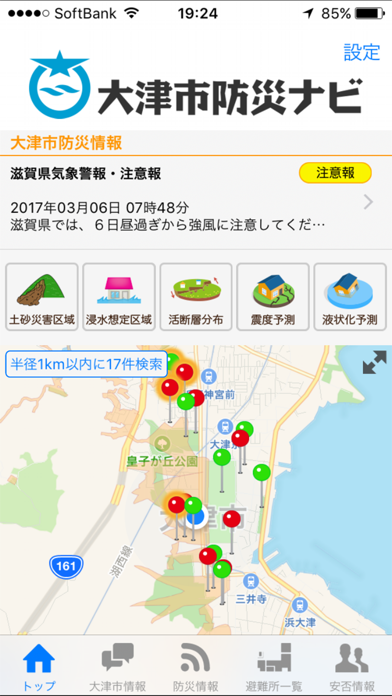
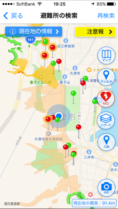
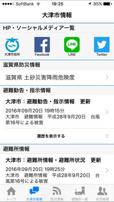
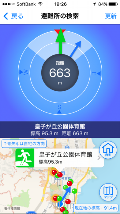
「大津市防災ナビ」は大津市の公式アプリです。 現在地周辺の指定避難所・指定緊急避難場所・AEDの設置場所や詳細が表示され、ARカメラ機能や避難コンパス機能で災害時の避難行動を支援します。 また、土砂災害警戒区域や浸水想定区域などのハザードマップも表示されますので、現在地の危険性を確認できます。 さらに、避難情報や気象情報などをはじめ、滋賀県土砂災害降雨危険度データと連携し土砂災害の危険性が高まっている地域内にいるユーザーへの注意喚起プッシュ通知など、各種防災情報をプッシュ配信します。 「大津市防災ナビ」は、市内だけではなく市外でも利用でき、一部の機能はオフライン時でも利用できます。 【主な機能】 ・現在地周辺の指定避難所、指定緊急避難場所、AED設置場所の自動検索 ・現在地から上記場所までの誘導 ・土砂災害警戒区域、浸水想定区域などのハザードマップ表示 ・震度予測、液状化予測マップの表示 ・活断層の表示 ・ARカメラ機能、避難コンパス機能 ・オフライン機能 ・防災情報のプッシュ通知、一覧表示 ・安否登録、安否確認
Latest release
What’s New
一部の不具合を修正いたしました。
Audience growth
Ratings growth
Baseline captured. Growth appears after the crawler observes a changed rating count.
Momentum comes from crawler snapshots for the tracked storefront. “Viral growth signal” means unusually fast recent rating gains; it is an indicator, not download data.
Price tracking
Price intelligence
First snapshot captured. The trend line starts after the next crawler price observation.
- First observed Aug 19, 2026 · 7:02 PM Free
Screenshots