About this app
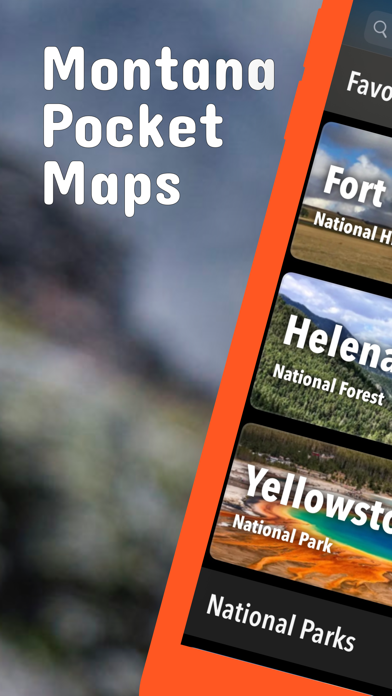
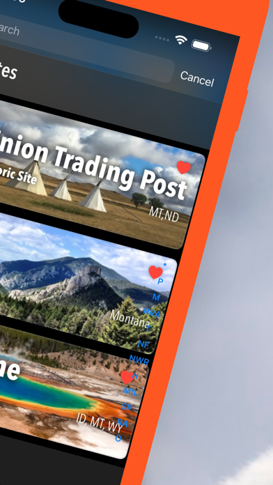
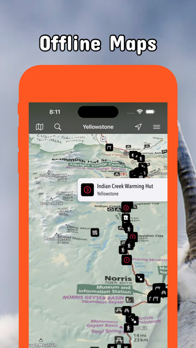
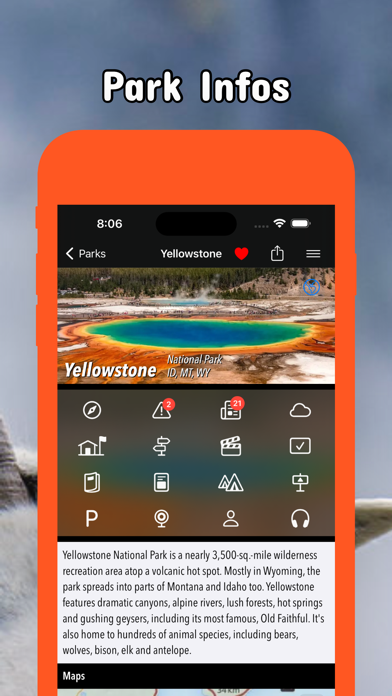
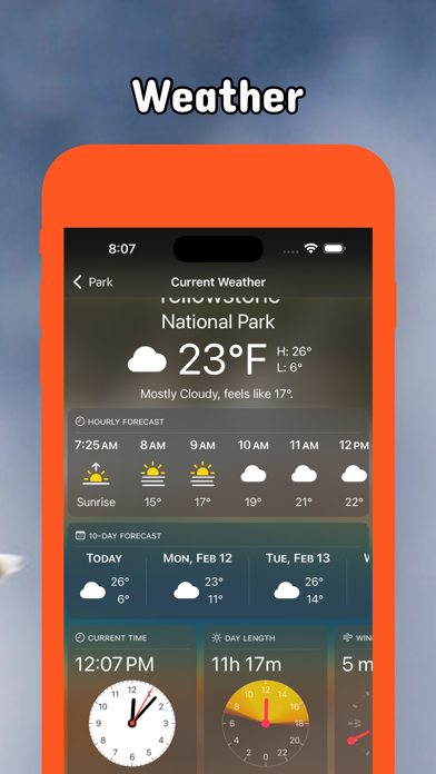
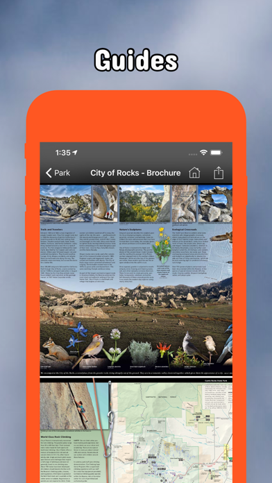
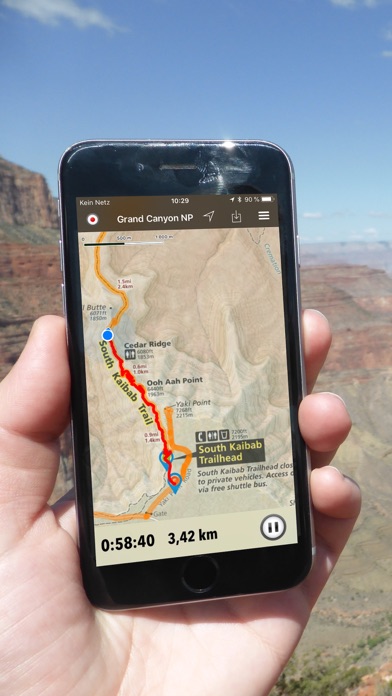
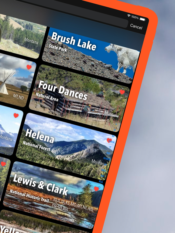
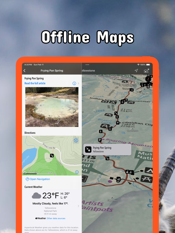
Be prepared! Plan your next trip to one of the great Montana parks. Download maps and guides before you venture into the Wi-Fi free wilderness. Discover - 40+ national parks, state parks, monuments, forests - 860+ neatly folded maps by the National Park Service, Bureau of Land Management, United States Forest Services, and other agencies. - Motor Vehicle Use Maps (MVUM), Motor Vehicle Travel Maps (MVTM) and visitor maps for Utah national forests. - 2,000+ campgrounds and campsites - 3.,00+ trails and trailheads - 84,000+ points of interests Plan - Download maps, park brochures, and newspapers. These downloads are ready when you are offline and off the grid in the great outdoors. - Download arbitrary map sections as offline packs. - Photo galleries, panorama views. - Share links to parks and maps with friends Have fun - GPS and GPX support: record your hikes, import GPX routes, tracks and waypoints for your hiking trails. - Detailed national park information: alerts, news, visitor centers, campgrounds, driving directions, weather. - Open your favorite maps app to get a route to the selected park. - Current weather conditions, easy access to multi-day forecasts, sunrise and sunset times. - Push notifications for park alerts, park news, weather warnings So download maps and guides for: Glacier Yellowstone Little Bighorn Battlefield Bighorn Canyon Lewis & Clark Beaverhead-Deerlodge Bitterroot Custer Flathead Gallatin Helena Idaho Panhandle Kootenai Lolo Fort Union Trading Post Grant-Kohrs Ranch Nez Perce Big Hole Beavertail Hill Brush Lake Chief Plenty Coups First Peoples Buffalo Jump Lewis & Clark Caverns Makoshika Milltown Sluice Boxes Spring Meadow Lake Wild Horse Island / Flathead Lake Tin CAn Hill Cottonwood Four Dances Sage Creek Upper Big Hole River West Yellowstone There are additional useful information and brochures for many Montana state parks. LEGAL Terms of Use: https://www.icoat.de/pocketmaps/terms Privacy Policy: https://www.icoat.de/pocketmaps/privacy
Latest release
What’s New
Early Fall 2026 Updates! Explore Montana's wilderness with our new navigation tools and advanced data features. What's New • Data-Rich Elevation Profiles: Track duration, distance, relative elevation, and your exact location at a glance on your updated elevation graph. • Custom 'Standard' Map Style: Choose our beautifully streamlined custom map interface in your settings. • Instant POI Information: Long-press anywhere on the map to instantly reveal nearby points of interest. • High-Visibility Location Marker: Stay found on the trail with a larger, high-contrast map marker. • Refreshed Map Icons: Spot campgrounds, trailheads, and landmarks quickly with updated iconography. • Smooth navigation between map, route and waypoint details. • See elevation gain/loss data in the list of route waypoints. • Activity summary with distance, duration, speed, pace, elevation gain/loss, min/max elevation, start/end, ascent/descent duration and speed, distance effort. • Edit title, description, sport, difficulty, emoji, stars of your routes and activities. • Redesigned route overview lists. • Performance Boost: Fixed general bugs and optimized code for smoother, faster tracking. Map Updates Updated Trail Details: Explore the latest routes, points of interest, and facilities in Montana. • Trusted data Built with official information from the National Park Service, Bureau of Land Management, US Forest Service, recreation.gov, and other agencies.
Audience growth
Ratings growth
Momentum comes from crawler snapshots for the tracked storefront. “Viral growth signal” means unusually fast recent rating gains; it is an indicator, not download data.
Price tracking
Price intelligence
- First observed Aug 12, 2026 · 6:01 PM Free
Screenshots