About this app
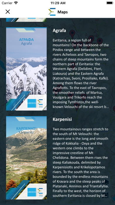
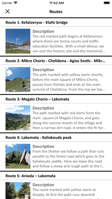
The “Region of Central Greece Maps” app provides users with easy access to a general tourist map which covers the whole geographical area of the Region of Central Greece as well as to the hiking map of Mount Telethrio in northern Evia. It has been designed to help guide travelers on their road tours in the area, also showing routes in natural surroundings, while it ensures a comfortable and safe trip even in areas without mobile internet coverage. Users have the possibility to: • Easily find their current position on the map, through the GPS function of their mobile device • Project the Points of Interest (POIs) on the map and find a detailed description for each one of them • Direct and easy transfer between the tourist map of Central Greece and the hiking map of Mount Telethrio. MAP OF THE REGION OF CENTRAL GREECE The app is installed with the map of the Region of Central Greece, showing information corresponding to a 1:200.000 scale. It includes all towns, villages, municipalities, the entire main road network with different types of roads, and all the new roads. In this map, users may also find information, according to scale, on points of interest (main archaeological sites, monasteries, ski resorts, airports, ports, mountain refuges, spa centers etc.), beaches, rivers and lakes. There is a color grade on the background so as to better depict the relief of each area on the map. MAP OF MOUNT TELETHRIO IN EVIA The app is also installed with the map of Mount Telethrio, which appears for the first time and includes very detailed information corresponding to a 1:25.000 scale. Mount Telethrio was mapped starting from scratch. All trails, roads, springs, waterfalls and other points of interest were thoroughly recorded through extensive field survey and all point-to-point distances are shown in detail. Also shown are the surrounding main access roads leading to the mountain, so as to make the visit easier for the traveler. All towns and villages are accurately marked. Contour lines have also been added as well as a relief shading to better depict the relief of each area of the map.
Latest release
What’s New
Privacy policy page is added in this version.
Audience growth
Ratings growth
Baseline captured. Growth appears after the crawler observes a changed rating count.
Momentum comes from crawler snapshots for the tracked storefront. “Viral growth signal” means unusually fast recent rating gains; it is an indicator, not download data.
Price tracking
Price intelligence
First snapshot captured. The trend line starts after the next crawler price observation.
- First observed Aug 19, 2026 · 12:04 PM Free
Screenshots