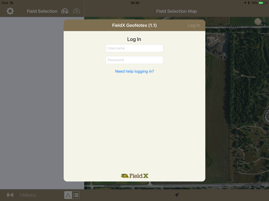
About this app
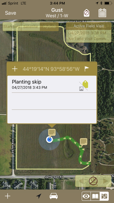
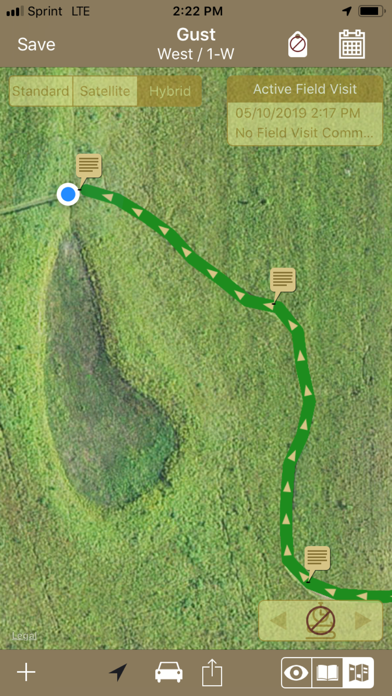
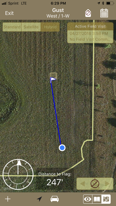
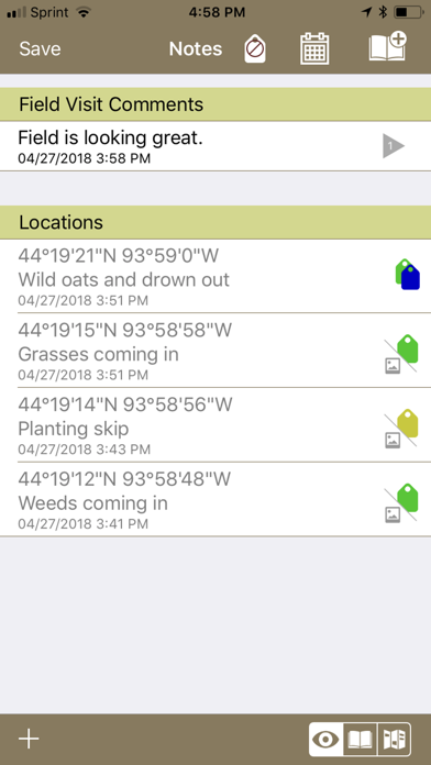
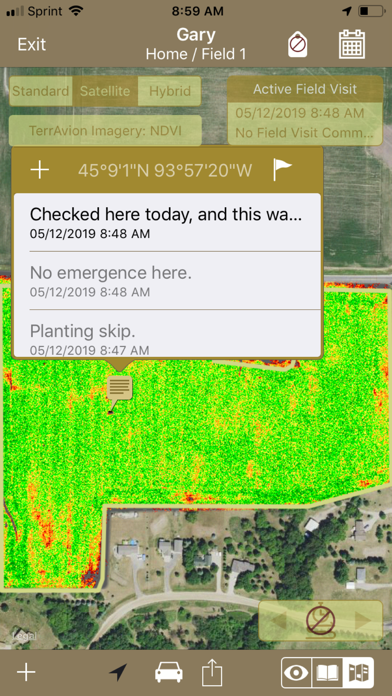
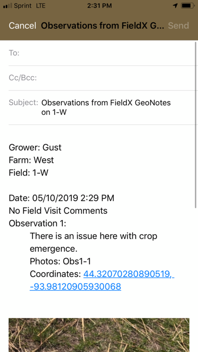
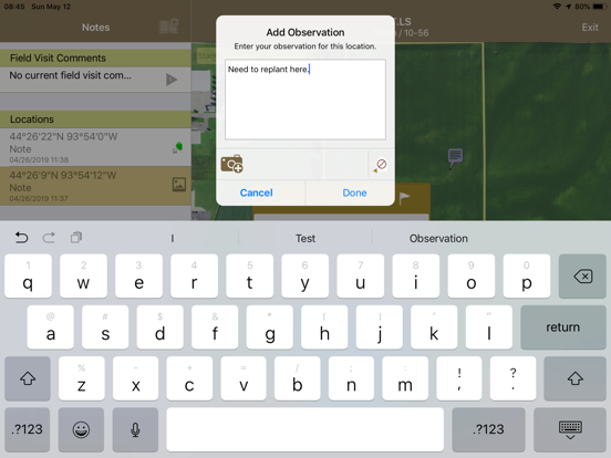
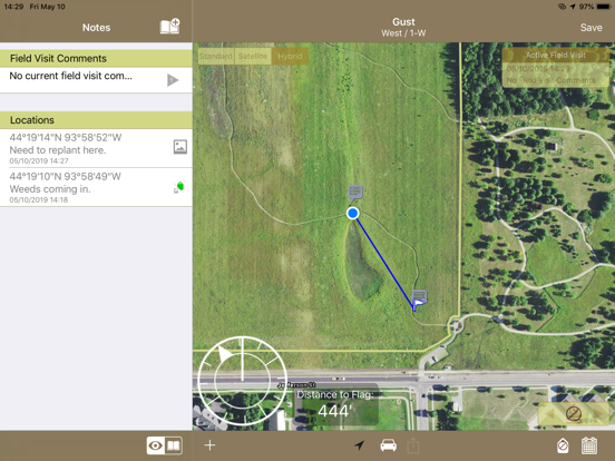
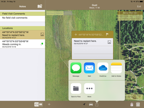
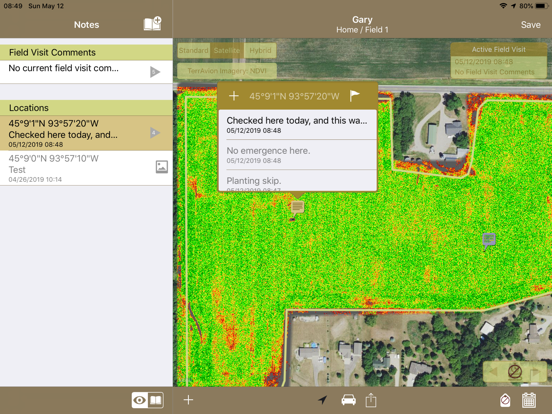
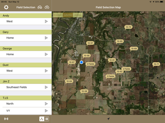
FieldX GeoNotes™ is an agricultural app used to record georeferenced comments and pictures at points of interest in a field. While using the app, your path through the field can be recorded and saved. Below are examples of how GeoNotes can be used: - Quickly comment on field conditions, and take photos of crop progress on each field visit. - Record notes and photos of crop damage at a georeferenced location. - Navigate to user-defined observation locations to re-check an issue in the field, or investigate potential problem areas. - Review paths taken through the field to identify parts of the field that haven’t been checked. - Mark locations of hazards and features in the field, such as rocks or drown-outs. - Share collected notes and photos through the Email or Messages app. **Please note that this app is for existing FieldX customers. If you are not a customer, start a free trial today. FieldX GeoNotes is part of the FieldX® Platform, which is an agricultural software system used across the United States and Canada.
Latest release
What’s New
UI enhancements for iPad mini
Audience growth
Ratings growth
Baseline captured. Growth appears after the crawler observes a changed rating count.
Momentum comes from crawler snapshots for the tracked storefront. “Viral growth signal” means unusually fast recent rating gains; it is an indicator, not download data.
Price tracking
Price intelligence
First snapshot captured. The trend line starts after the next crawler price observation.
- First observed Sep 2, 2026 · 8:59 PM Free
Screenshots