About this app
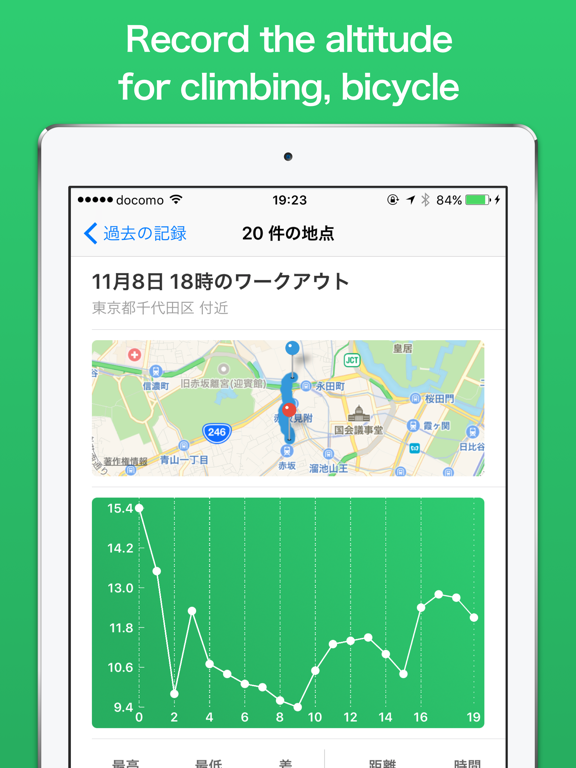
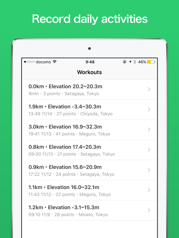
Elevation Logger record the elevation of the way you walk. Why don’t you log the trajectory of mountain climbing, bicycle, daily running etc? The recorded data can be checked by map and graph. *** Recommended for people like this *** · Those who like mountain climbing · Those who like to ride a bicycle · Those who want to check the inclination of the road you usually walk on *** How to use *** · Launch the application and press the "START" button · Act (app works even in the background) · press "FINISH" button to finish · Check elevation data! *** Main Feature *** · "Maximum altitude" and "Minimum altitude" of the activity can be seen · It is fun to see altitude transitions on a graph · Activity can be recorded even offline (needs network to load elevation data) *** Other *** · Elevation data source is API of Google Maps (and Geographical Survey Institute in Japan) · Depending on the location, altitude data may not be acquired · Icons used in the app are using Icons 8's (https://icons8.jp/)
Latest release
What’s New
This update from Apple will improve the functionality of this app. No new features are included. Hello, This update provide new feature, “Share”. - Share Using Share feature, you can create picture with your photo and workout result. Please share your good picture to SNS. (Instagram, etc). Share feature is on upper right button at workout detail screen. Thanks!
Audience growth
Ratings growth
Baseline captured. Growth appears after the crawler observes a changed rating count.
Momentum comes from crawler snapshots for the tracked storefront. “Viral growth signal” means unusually fast recent rating gains; it is an indicator, not download data.
Price tracking
Price intelligence
First snapshot captured. The trend line starts after the next crawler price observation.
- First observed Aug 16, 2026 · 9:42 AM Free
Screenshots