About this app
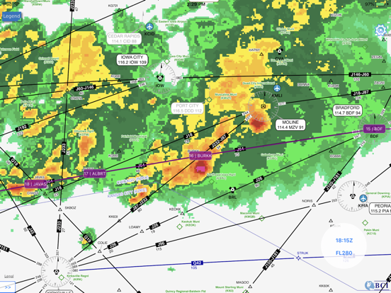
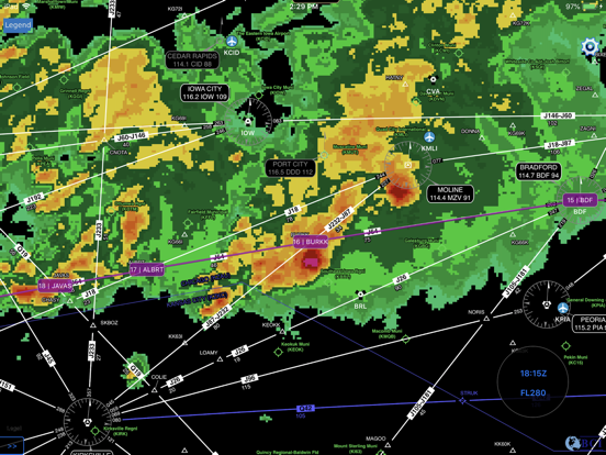
“Providing better weather for a safe flight” Use FlightWx to locate weather hazards for your flight planning with turbulence, radar reflectivity, global cloud top, convective threat and more! FLIGHT PLAN TOOL Plot flight path using touch gestures on map or manually type/copy-paste with navaids; or load already submitted flight plan with flight ID. WEATHER Weather overlay in including turbulence forecast, multi-radar multi-sensor reflectivity, cloud top height, convective threat per time and flight level; and graphical ICAO AIR/SIGMETs and Volcanic Ash Cloud WEATHER PROFILE Interactive vertical profile that depicts weather products along the flight path CHARTS SkyVector’s global IFR HI & Low charts Disclaimer: We accept no responsibility for any loss or damage caused by the use of this software. You use all the information at your own risk.
Audience growth
Ratings growth
Baseline captured. Growth appears after the crawler observes a changed rating count.
Momentum comes from crawler snapshots for the tracked storefront. “Viral growth signal” means unusually fast recent rating gains; it is an indicator, not download data.
Price tracking
Price intelligence
First snapshot captured. The trend line starts after the next crawler price observation.
- First observed Sep 1, 2026 · 2:33 PM Free
Screenshots