About this app
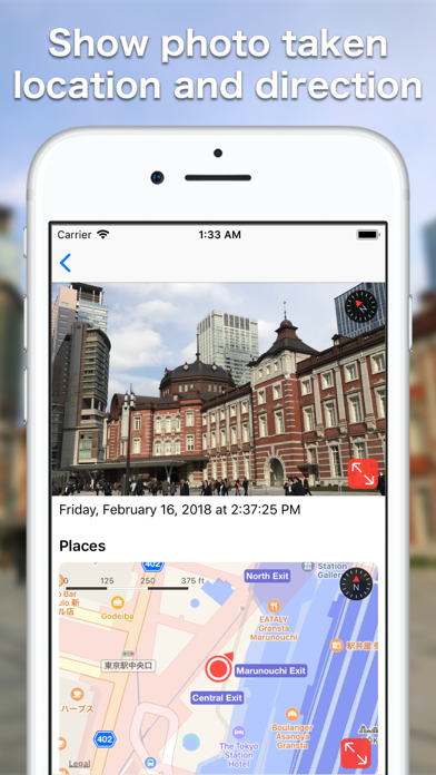
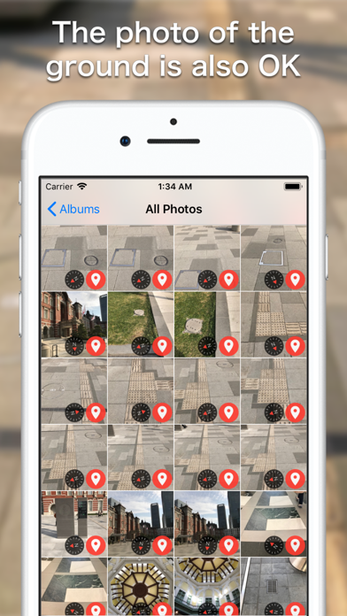
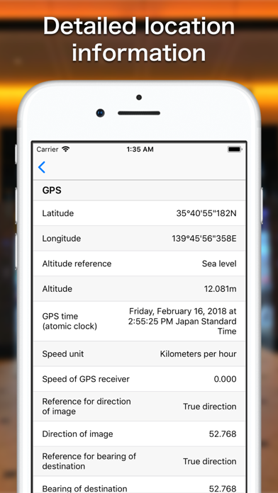
It is an application that can check the location and direction when photographing. By reading the location information (GPS tag) recorded in the photo and simultaneously displaying the directional photograph and the map, you can easily grasp the positional relationship at the time of shooting. Under the supervision of a land and house investigator, we developed it so that it can be used for surveying, construction, and other work on site work. - This app supports Dynamic Type.
Latest release
What’s New
- It is now possible to export photos and maps from a user's albums (other than Recent, Favorites, and Photo Stream albums) to PDF at once.
Audience growth
Ratings growth
Baseline captured. Growth appears after the crawler observes a changed rating count.
Momentum comes from crawler snapshots for the tracked storefront. “Viral growth signal” means unusually fast recent rating gains; it is an indicator, not download data.
Price tracking
Price intelligence
First snapshot captured. The trend line starts after the next crawler price observation.
- First observed Sep 7, 2026 · 7:29 AM Free
Screenshots