About this app
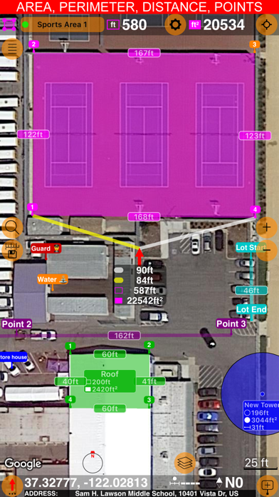
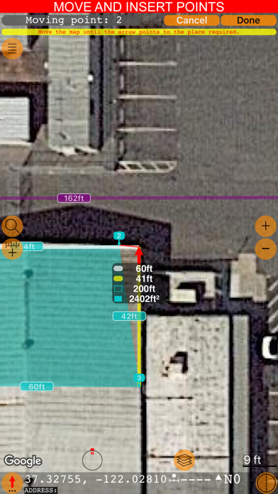
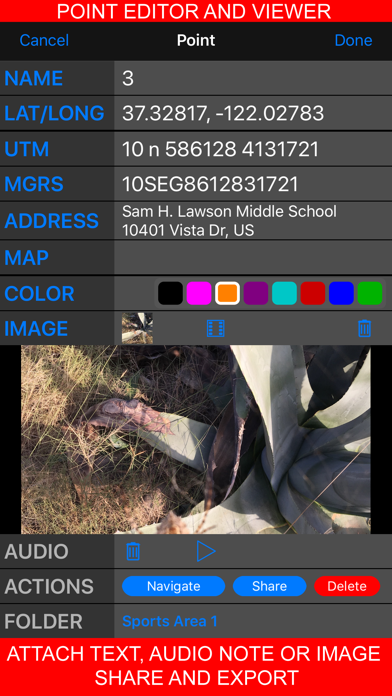
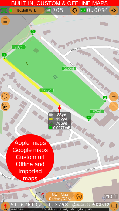
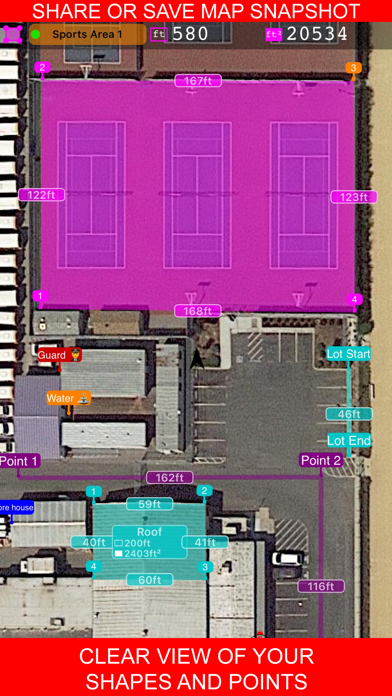
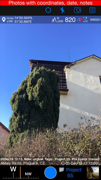
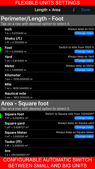
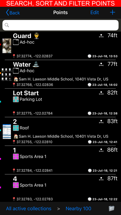
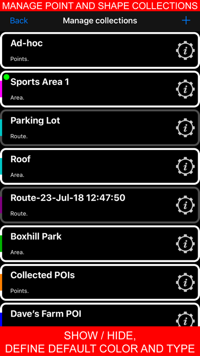
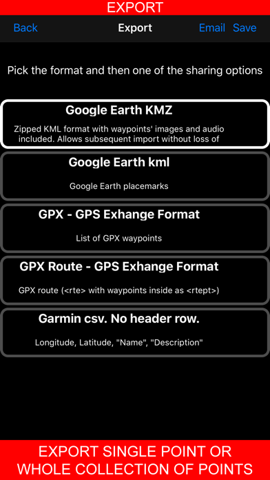
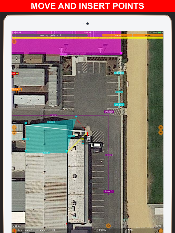
Measure distance, perimeter, and area on a map with ease. Add stand-alone points to mark locations and understand exactly what’s where. Capture photos with location, direction, altitude, and timestamp data. Share and export your projects seamlessly. Planimeter 55 is the ideal tool for measuring construction sites, roofs, lawns, fences, paving, pools, parking lots, fields, and paths. Or simply for placing stand-alone points on a map for better spatial understanding. Why choose Planimeter 55? • Precise control of your planned or measured areas. As you move the map, the app instantly displays the calculated area or distance, including the lengths of adjacent lines—even before you add a new point. • Native Google Maps support for enhanced zoom. Zoom in closer on satellite and hybrid maps for high-detail measurements. • Detailed point management. Assign individual colors to points and attach text notes, audio recordings, or images for comprehensive data collection. • Easy point editing. Move points directly on the main map screen (tap a point and select Move) or in the dedicated point editor. Before confirming, you’ll see the updated area, perimeter, and distance calculations in real time. • Organize your data. Show or hide shapes and point collections to focus on what’s important for your current project. • Flexible measurement units. Customize when distances display in feet or meters versus miles or kilometers. The same flexibility applies to area units. • Custom URL maps, offline maps, and map imports. Planimeter 55 includes Apple Maps and Google Maps by default. You can also add custom URL maps, download offline maps, or import your own maps (mbtiles, sqlitedb) created on your PC or Mac. • KMZ export and import. Transfer shapes and point collections, including images and audio notes, to continue your work across multiple devices. • Built-in camera tool. Attach geo-referenced photos to your points for a complete survey experience. What’s included in the Basic Version: • Create an unlimited number of points and temporary measurement shapes (areas or routes). • To measure a new shape, simply discard the previous one and start again. Unlock the Pro Pack Upgrade for even more: • Full support for Google Maps, custom URL maps, offline maps, and imported maps (with enhanced zoom for satellite and hybrid maps). • Save and manage multiple point collections and shapes. • Import and export individual points or entire shapes and collections. • Save and share map snapshots showing only the objects you’ve created—without UI buttons or tools. Support and Help Access Documentation or Support and Feedback via the MENU (hamburger icon) within the app. For direct support, email stan@blocoware.com. We respond to all emails within a few hours, or up to 9 hours if they arrive during CET/EU night hours. Wishing you happy measuring! The Planimeter 55 Team Terms of Use: https://www.apple.com/legal/internet-services/itunes/dev/stdeula/
Latest release
What’s New
Added support for Korean, Polish, Turkish, and Traditional Chinese.
Audience growth
Ratings growth
Baseline captured. Growth appears after the crawler observes a changed rating count.
Momentum comes from crawler snapshots for the tracked storefront. “Viral growth signal” means unusually fast recent rating gains; it is an indicator, not download data.
Price tracking
Price intelligence
First snapshot captured. The trend line starts after the next crawler price observation.
- First observed Sep 4, 2026 · 10:18 AM Free
Screenshots