About this app
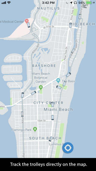
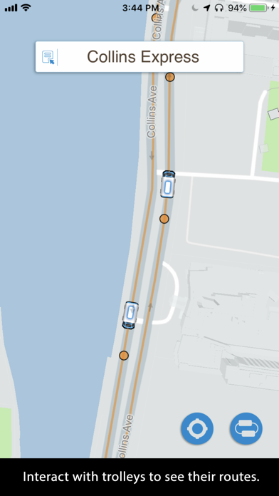
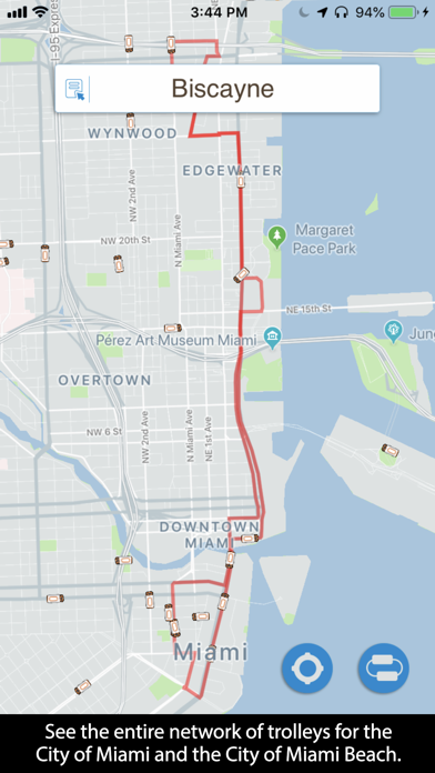
The trolleys are displayed on a map where you can easily and intuitively determine what trolleys are nearest to you. Use this app to familiarize yourself with the vast network of free trolleys available for free to everyone. You will be surprised how many there are! You can track the trolleys and see their routes. Here is how easy it is to use: -Touch a trolley to reveal its route. It will show you the name of the route at the top. -Touch it again to display an animation showing the direction the trolley is moving. -Zoom into the map to reveal the stops. -Touch the service name (box at the top of the screen) to see all of the available trolley routes. -You can hide the trolleys that are not part of the trolley route you selected or you can see the whole network. -Your location is shown with a blue dot. Enjoy!
Latest release
What’s New
bug fixes and updates
Audience growth
Ratings growth
Baseline captured. Growth appears after the crawler observes a changed rating count.
Momentum comes from crawler snapshots for the tracked storefront. “Viral growth signal” means unusually fast recent rating gains; it is an indicator, not download data.
Price tracking
Price intelligence
First snapshot captured. The trend line starts after the next crawler price observation.
- First observed Sep 4, 2026 · 4:38 AM Free
Screenshots