About this app
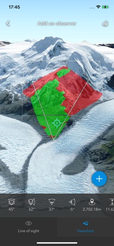
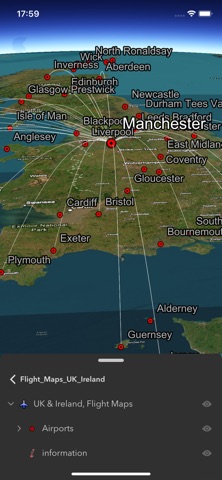
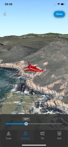
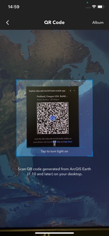
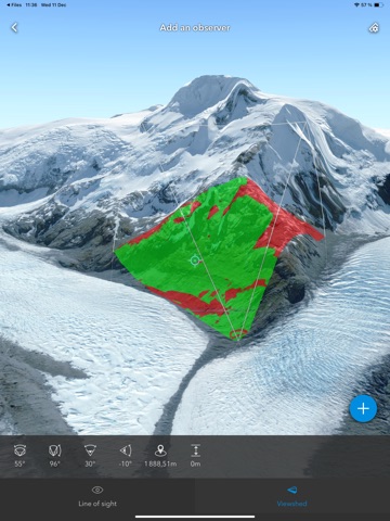
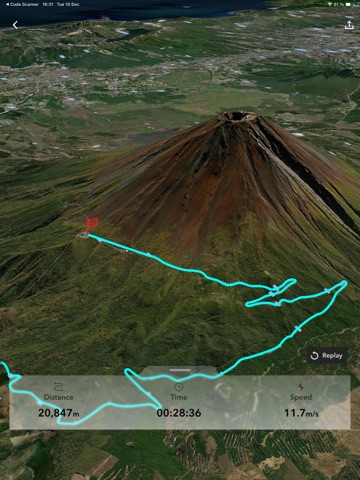
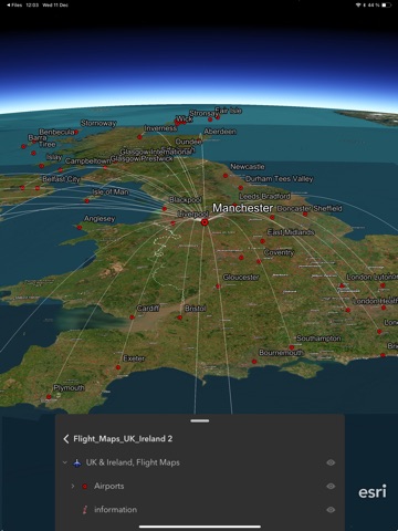
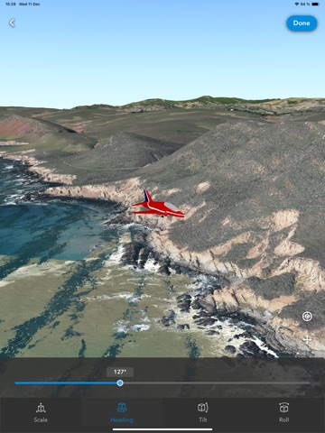
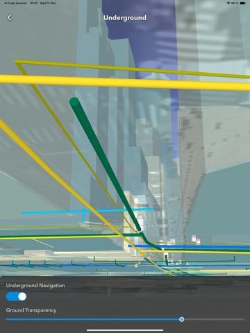
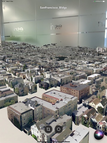
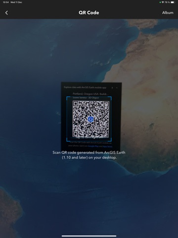
ArcGIS Earth is designed for everyone and provides user-friendly 3D experiences. Data support ArcGIS Earth allows you to use a variety of items from ArcGIS Online, ArcGIS Enterprise, local data, and web services: • Browse web scenes, map services, image services, scene services, and feature services. • Browse local files including mobile scene packages (MSPK), KML, KMZ, tile packages, and scene layer packages (SLPK). • Support has been added for Living Atlas of the World. Key features • Connect to ArcGIS Online or ArcGIS Enterprise. • Tap to identify features. • Support has been added for collecting, editing, and sharing placemarks. • Interactive analysis tools include Measure, Line of Sight, and Viewshed. • Create and share tours with geotagged photos. • Search for places and switch locators. • Start-up tips and guidance for hand gestures are included. • Record and preview GPS tracks, and share with your organization.
Latest release
What’s New
• Bookmarks are now supported in MMPK and slides in MSPK. • Bookmark UI and workflow were improved for better usability. • High-priority issues were fixed and app stability was improved.
Audience growth
Ratings growth
Baseline captured. Growth appears after the crawler observes a changed rating count.
Momentum comes from crawler snapshots for the tracked storefront. “Viral growth signal” means unusually fast recent rating gains; it is an indicator, not download data.
Price tracking
Price intelligence
- First observed Aug 10, 2026 · 5:19 PM Free
Screenshots