About this app
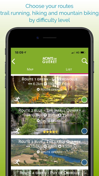
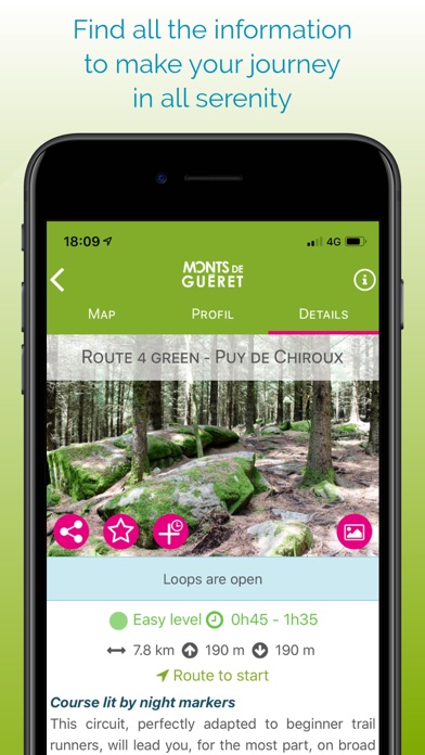
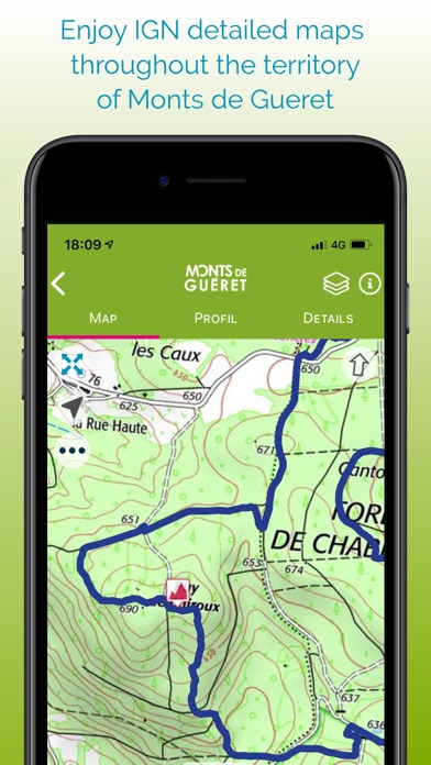
With its activities "land", "water", "air" and the discovery of its natural heritage, the Monts de Guéret guarantee you a total change of scenery for the pleasure of all, children, adults, sportsmen, nature lovers, during a green outing with friends or family. Welcome to our Sports Nature Station ! Once the application is installed, you will be able to download maps for offline mode : Open Topo Map maps or IGN maps. The application also embeds all routes and altitude profiles. Many features will help you practice the trail-running : • get your location on the detailed IGN maps with the GPS • training workouts • record your chronos • description of the route and points of interest • monitoring alert to be notified if you move away from the route • call or send an emergency SMS in case of problems • sending predefined SMS to your contacts • classification by age class on the challenges • reporting a problem on the route • adding comments • sharing on social networks • Weather in 5 days (Openweathermap) ... Access to all features requires that you use a Trace de Trail account. Remark : Continued use of GPS running in the background can greatly decrease battery life.
Latest release
What’s New
Fixes and improvements
Audience growth
Ratings growth
Baseline captured. Growth appears after the crawler observes a changed rating count.
Momentum comes from crawler snapshots for the tracked storefront. “Viral growth signal” means unusually fast recent rating gains; it is an indicator, not download data.
Price tracking
Price intelligence
First snapshot captured. The trend line starts after the next crawler price observation.
- First observed Aug 28, 2026 · 6:29 PM Free
Screenshots