About this app
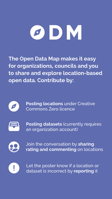
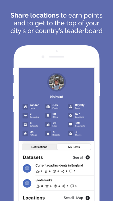
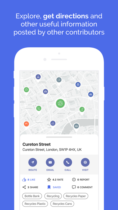
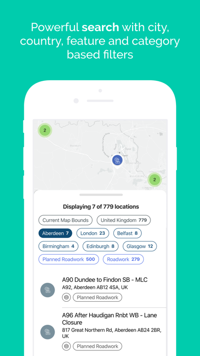
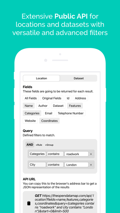
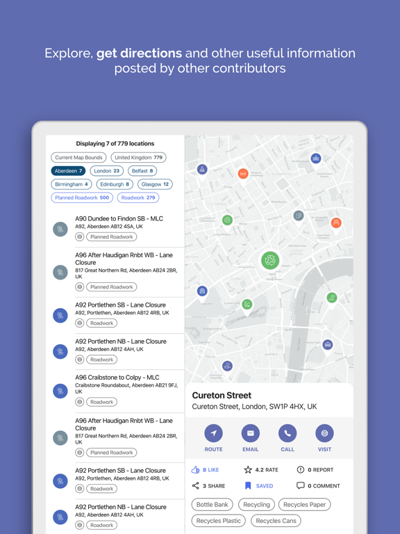
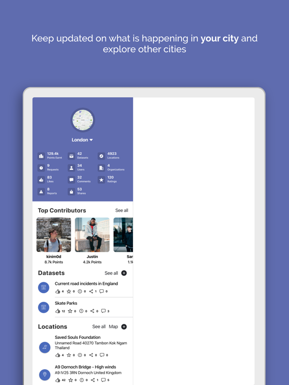
The Open Data Map is a location-based open data store that makes it easy for organizations, councils and you to share and explore location-based open data. Features Share locations, paths and polygons with custom fields, styles, categories and features and earn points to move to the top of your city’s leaderboard Share datasets with versatile customization options (currently only available for councils and organizations) Explore locations and datasets posted in different cities and countries Request new datasets from councils Visualize datasets on the map via the app or the public API Subscribe to your favourite datasets and receive updates when they are updated
Latest release
What’s New
Bug fixes and improvements
Audience growth
Ratings growth
Baseline captured. Growth appears after the crawler observes a changed rating count.
Momentum comes from crawler snapshots for the tracked storefront. “Viral growth signal” means unusually fast recent rating gains; it is an indicator, not download data.
Price tracking
Price intelligence
First snapshot captured. The trend line starts after the next crawler price observation.
- First observed Aug 16, 2026 · 6:45 PM Free
Screenshots