About this app
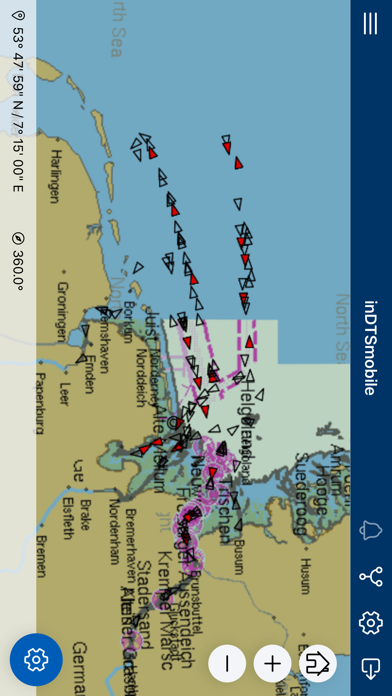
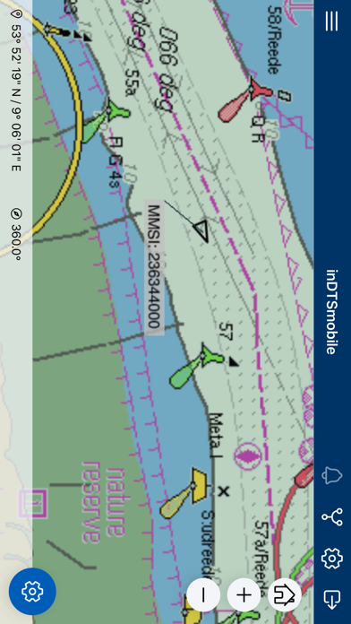
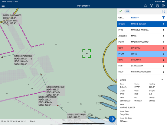
*** PLEASE NOTE: To use inDTSmobile, it is necessary to be connected to the backend of an inVTS system provided by in-innovative navigation GmbH. *** This app serves as frontend of an inVTS system. inDTSmobile provides view and management of real-time martime traffic. It displays real-time positions of vessels along river sections or coastal waters on top of a nautical chart. Additionally, it presents all available information about the vessels in a table view. This app is suited to be used by port, water police and waterway authorities. Features: * view vessels on a live map and in a table view * get extended vessel and voyage data from inVTS database * notice alarms and warnings generated by inVTS Traffic Analysis System (TAS) * request detailed information about traffic signs and other map elements * display routes, warning areas and corridors * examine depth contours and tide forecasts * use on portable pilot units (PPUs) * follow planned voyages through difficult waterway sections * discover traffic picture in 3-D view
Latest release
What’s New
This version now supports research and replay of archived data.
Audience growth
Ratings growth
Baseline captured. Growth appears after the crawler observes a changed rating count.
Momentum comes from crawler snapshots for the tracked storefront. “Viral growth signal” means unusually fast recent rating gains; it is an indicator, not download data.
Price tracking
Price intelligence
First snapshot captured. The trend line starts after the next crawler price observation.
- First observed Sep 2, 2026 · 10:36 AM Free
Screenshots