About this app
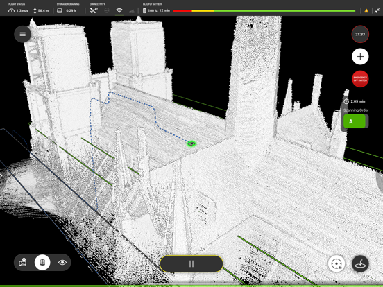
Use the BLK2FLY Live app to connect to your Leica BLK2FLY aerial LiDAR scanner. The app serves as an easy and intuitive interface towards your BLK2FLY and lets you control its scan flights including the ability to plan and run autonomous scan missions. A spherical live video stream and a 3D preview map of the environment allows to monitor the scan progress in real-time. Recorded scans can be managed within the project browser section of the app. Moreover, recorded scans can be directly uploaded to our Reality Cloud Studio powered by HxDR for post processing and enhanced visualization. As safety plays an important role the app additionally provides airspace restriction information and warns the user if flight regulations are violated.
Latest release
What’s New
- Tap‑to‑Fly (2D Map): Users can tap a location on the map, set a target altitude via a slider, and confirm or cancel the mission. This feature requires a valid GNSS signal and is unavailable indoors. - Automatic Landing Zone Evaluation: BLK2FLY checks landing areas for safety, marking them as suitable (green) or unsuitable (red). If unsafe, it can reroute or request user confirmation. - Safety & Controls: Includes rerouting within 6 m, abort options, and operator responsibility for safe landing decisions. - Additional Improvements: SSO login, minimum altitude limits, improved GNSS and flight control, smoother scans, better UI, sensor log downloads, enhanced security, and battery diagnostics.
Audience growth
Ratings growth
Baseline captured. Growth appears after the crawler observes a changed rating count.
Momentum comes from crawler snapshots for the tracked storefront. “Viral growth signal” means unusually fast recent rating gains; it is an indicator, not download data.
Price tracking
Price intelligence
- First observed Aug 10, 2026 · 2:52 PM Free
Screenshots