About this app
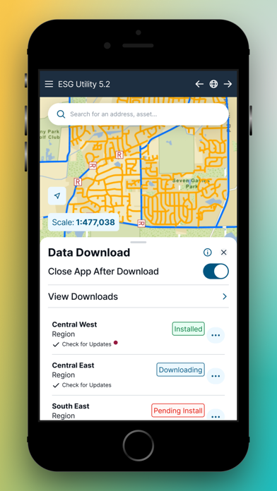
Epoch Solutions Group's mobile mapping solution, EpochField, provides its users with a suite of user-friendly tools to help streamline daily workflows. Corporate GIS data can be downloaded efficiently and securely over cellular or wireless networks. That data can be visualized, searched, and identified through several easy-to-use tools. EpochField also provides its users a substantial library of basemaps and operational data, and communicates directly with on-board GPS devices to help navigate users throughout their service territory. 98% of the application will work whether the user is online or offline, making EpochField an invaluable piece of a utility field worker’s toolkit.
Latest release
What’s New
Various bug fixes and enhancements
Audience growth
Ratings growth
Baseline captured. Growth appears after the crawler observes a changed rating count.
Momentum comes from crawler snapshots for the tracked storefront. “Viral growth signal” means unusually fast recent rating gains; it is an indicator, not download data.
Price tracking
Price intelligence
First snapshot captured. The trend line starts after the next crawler price observation.
- First observed Aug 19, 2026 · 8:17 PM Free
Screenshots