About this app
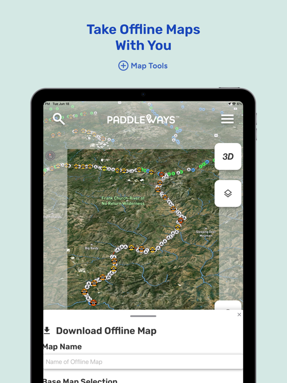
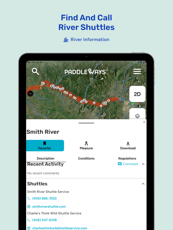
Find New Places to Paddle. Plan Better Trips. Stay Ahead of Conditions. Available in USA, Canada, Ireland, UK, Australia, NZ, and South Africa. PaddleWays is the paddling map built for kayakers, canoeists, paddleboarders, and rafters of all experience levels: find where to go, know when conditions are right, and keep a record of every trip. With PaddleWays Free, you can: - See Public Land Parcels on the map and find legal put-ins and take-outs, free. No paywall. - Find Access Points and Boat Ramps across rivers, lakes, and streams wherever you paddle - Check Flow Stations for real time streamflow, trends, and forecasts where available - Open Live USGS Webcams and see the water before you drive - Check reported hazards on the map and report what you find, so the next paddler launches informed - Track your route with Trip Tracker and log trips in your Paddling Journal - Measure any float, crossing, or coastal route with the Route Measuring Tool - Plus one saved water in My Waters, live weather, Waypoints, Community, driving directions, and local gear shops Upgrade to PaddleWays Plus for planning and decision tools: - My Waters: track streamflow, forecasts, and water conditions for unlimited saved rivers and lakes in one dashboard. Set ideal ranges and see at a glance which water is runnable. - 10-Day Weather Forecasts & Visuals: location-specific forecasts with visual weather layers on the map - Paddler Intelligence: ask where to put in, when to go, and what to expect, answered with real data from maps, weather, and water conditions - Curated Paddling Routes: vetted routes with put-ins, take-outs, distance, difficulty, and trip notes - Saved Routes: measuring is free for everyone; Plus keeps the routes you measure and the trips you track so you stop rebuilding the same plan - Waterbody Descriptions: character, difficulty, and what to expect, so you can evaluate new water against your skill level - Animated Wind Maps: watch wind speed and direction move across your water - Algal Blooms Map Layer: check for blooms that can be dangerous to people and pets before you launch - Lake Depth Maps: know the shallows and the drop-offs on lakes in select states - Land Ownership Boundaries: private boundaries and ownership info so you stay legal at put-ins and take-outs - Cell Coverage Map Layer and Downloadable Offline Maps: know where service drops, and take your maps off-grid - Plus 3D Maps, Street View for access points, Tide Charts for coastal waters, auto-filled journal conditions, and River Shuttle Services PaddleWays puts the map, the conditions, and the plan in one app, so more of your time goes to paddling. PaddleWays Plus is an auto-renewing subscription. Payment is charged to your Apple ID account at confirmation of purchase. Subscriptions renew automatically unless canceled at least 24 hours before the end of the current period. Manage or cancel anytime in your App Store account settings. Terms of Use: https://www.paddleways.com/terms-and-conditions
Latest release
What’s New
You can now see algal blooms on the map, check live USGS webcams before you head out, and get lake surface temperature on waterbody overviews and in My Waters. We've also added upvotes and New, Top, and Nearest sorting to the community feed, along with sign in improvements, and bug fixes. Thanks for Paddling with us, and thanks for your help finding bugs. Please keep sending us feedback, we're always listening.
Audience growth
Ratings growth
Momentum comes from crawler snapshots for the tracked storefront. “Viral growth signal” means unusually fast recent rating gains; it is an indicator, not download data.
Price tracking
Price intelligence
- First observed Aug 18, 2026 · 4:13 AM Free
Screenshots