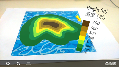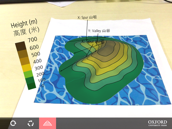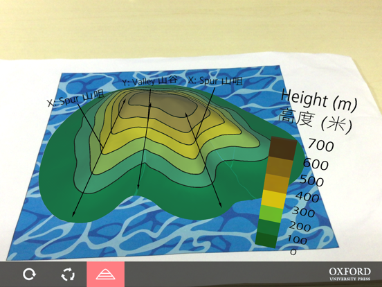
About this app
Imaging 3D relief from 2D contours has long been a difficult skill for geography students when learning map reading. This AR tool helps students visualize various 3D relief features represented by contour lines. 地理科學生學習地圖閱讀技能時,其中一個經常遇到的難題是怎樣將平面的等高線想像成立體的地勢。本AR工具有助學生培養立體概念,學懂怎樣將各種平面的等高線地圖形象化,成為立體的地勢模型。
Latest release
What’s New
This update from Apple will improve the functionality of this app. No new features are included.
Audience growth
Ratings growth
Baseline captured. Growth appears after the crawler observes a changed rating count.
Momentum comes from crawler snapshots for the tracked storefront. “Viral growth signal” means unusually fast recent rating gains; it is an indicator, not download data.
Price tracking
Price intelligence
First snapshot captured. The trend line starts after the next crawler price observation.
- First observed Aug 19, 2026 · 10:08 AM Free
Screenshots