About this app
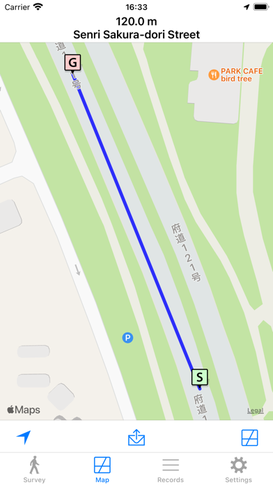
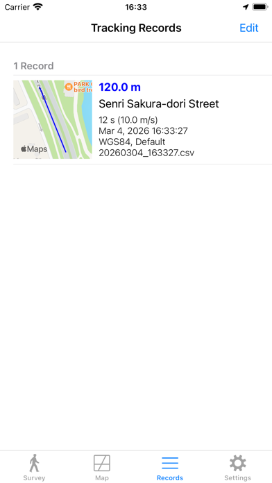
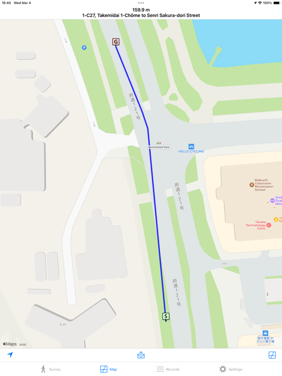
This simple tool utilizes GNSS (Global Navigation Satellite System) to survey distances on foot. The survey results, or tracking data, can be conveniently checked using an iOS map and are easily shareable via file sharing. Settings: - Remove Ads: This option removes ads via in-app purchase and displays a toolbar. - Units: Choose between meter, international foot, or U.S. survey foot. - Distance Calculation Methods: Options include iOS Default, Haversine, Hubeny (Simple Formula), Bowring, or Hubeny (Original). Bowring's method offers the best accuracy. - Reference Ellipsoid: Choose between WGS84 or GRS80. - GNSS Accuracy: Specify the allowed range of error. - Automatic Shut Off: If there's no movement for about 5 minutes, surveying will stop automatically. - Do Not Use Thumbnail: This option hides thumbnails. - Use Light Mode for Maps: The map is displayed in light mode even if you are using dark mode. Notice: Continued use of GNSS running in the background can dramatically decrease battery life.
Latest release
What’s New
- Fixed bugs.
Audience growth
Ratings growth
Baseline captured. Growth appears after the crawler observes a changed rating count.
Momentum comes from crawler snapshots for the tracked storefront. “Viral growth signal” means unusually fast recent rating gains; it is an indicator, not download data.
Price tracking
Price intelligence
First snapshot captured. The trend line starts after the next crawler price observation.
- First observed Aug 16, 2026 · 11:22 AM Free
Screenshots