About this app
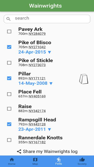
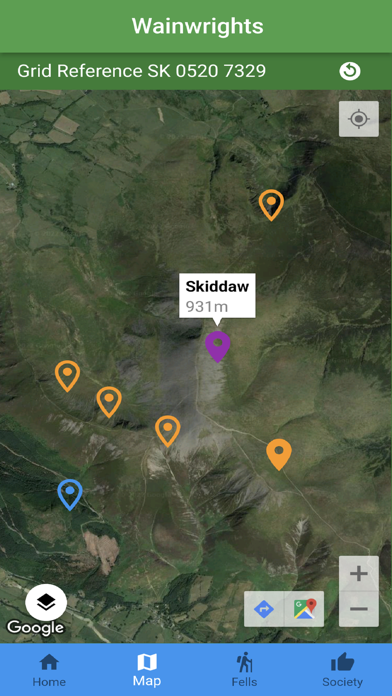
Explore the fells of the Lake District using an interactive map from OpenStreetMap, with the user's location and grid reference. Track your progress on your personal log. Are you ready for the challenge of climbing the Lake District's Wainwrights? The 214 Wainwright mountains and hills were established by Alfred Wainwright in his Pictorial Guides to the Lakeland Fells in the 1950s and 1960s. There is also an option for logging Wainwright's 116 Outlying Fells. The app supports The Wainwright Society. Base map and data from OpenStreetMap and OpenStreetMap Foundation © OpenStreetMap contributors. All images are subject to copyright through Creative Commons Licence.
Latest release
What’s New
Option for the map to stay rotated to your heading
Audience growth
Ratings growth
Baseline captured. Growth appears after the crawler observes a changed rating count.
Momentum comes from crawler snapshots for the tracked storefront. “Viral growth signal” means unusually fast recent rating gains; it is an indicator, not download data.
Price tracking
Price intelligence
First snapshot captured. The trend line starts after the next crawler price observation.
- First observed Sep 4, 2026 · 1:47 AM Free
Screenshots