About this app
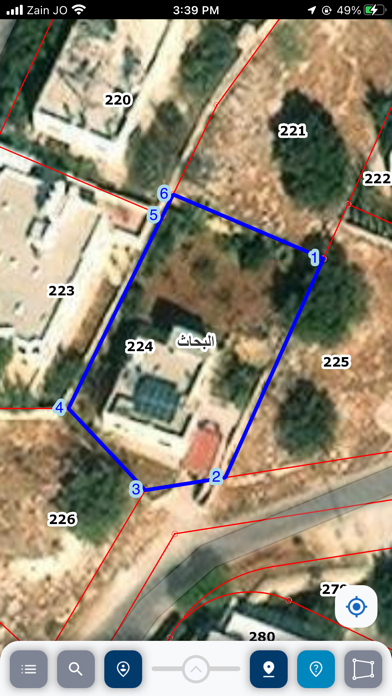
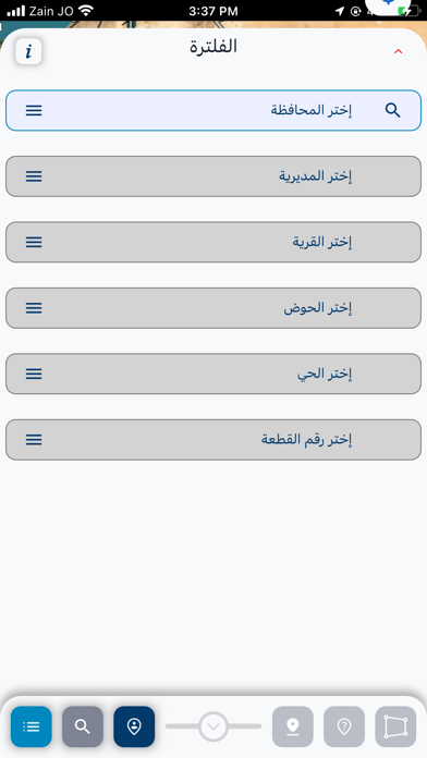
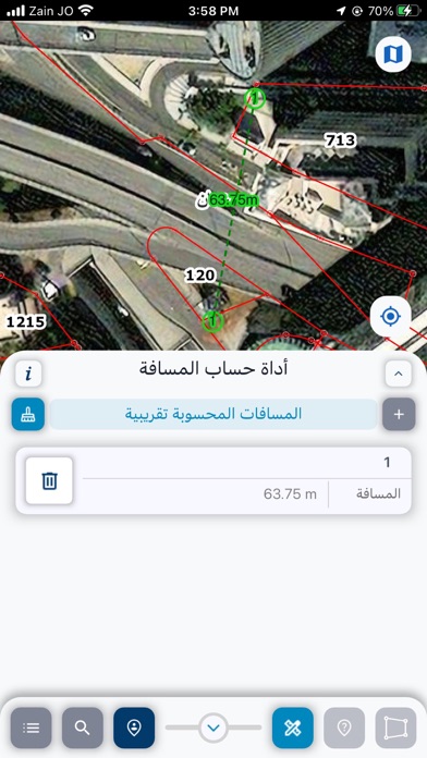
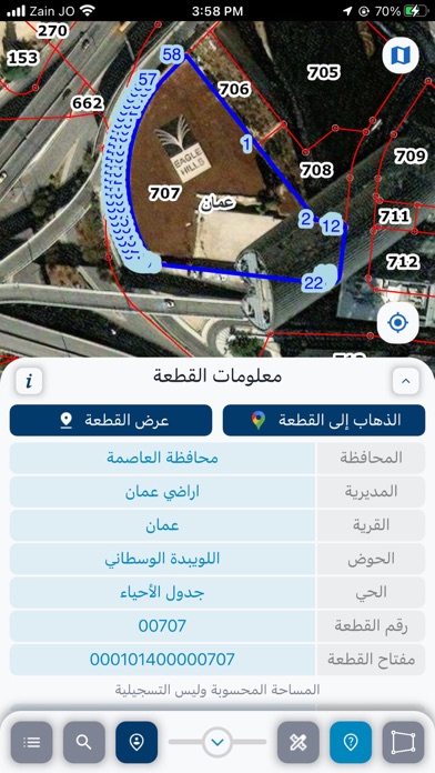
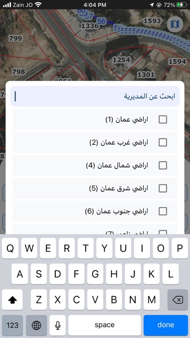
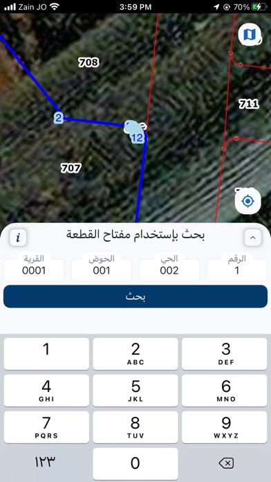
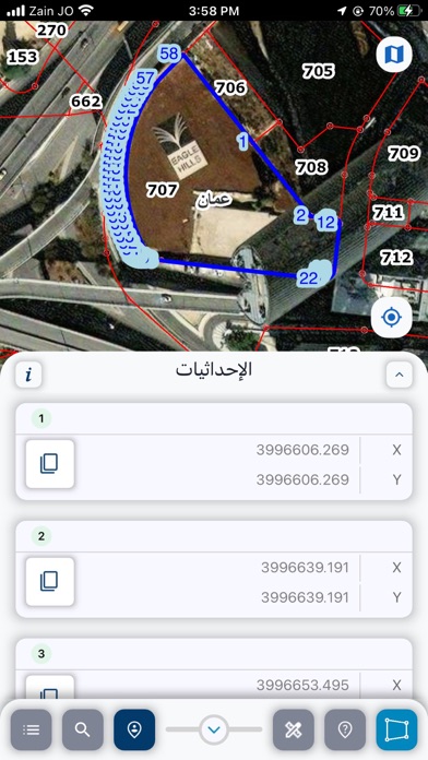
يهدف تطبيق دائرة الأراضي والمساحة الى تسهيل تقديم خدمات الدائرة للمواطنين إلكترونياً وعلى مدار الساعة يقدم التطبيق الخدمات الاتية: - البحث عن قطعة أرض عن طريق ادخال معلوماتها (المحافظة , المديرية , القرية , الحوض , الحي , رقم القطعة) او احداثياتها، و اظهار كيفية الوصول اليها. - عرض احداثيات القطعة عن طريق ادخال (المحافظة , المديرية , القرية , الحوض , الحي , رقم القطعة) - عرض معلومات القطعه للموقع الحالي للمستخدم عن طريق الاقمار الصناعية للتواصل مع المؤسسة و معرفة اخر المستجدات، يرجى زيارة الموقع الرسمي http://www.dls.gov.jo لإبداء أي ملاحظة، يرجى ارسال ايميل إلى البريد الإلكتروني: imharab.fawareh@DLS.gov.jo The application of the department of lands and Survey aims to facilitate the provision of the department's services to citizens electronically around the clock The application offers the following services: - Find a land parcel by entering the following information (the Governorate, the Directorate, the village, blocks, sector, parcel number) or its coordinates, and show how to go to it. - Display a land parcel coordinates through entering the following information (the Governorate, the Directorate, the village, blocks, sector, parcel number) - Showing the land parcel information for the current location of the user via satellite To connect with the organization and find out the latest developments, please visit the official website http://www.dls.gov.jo For your feedback, please send email to: imharab.fawareh@DLS.gov.jo
Latest release
What’s New
Logo Change
Audience growth
Ratings growth
Baseline captured. Growth appears after the crawler observes a changed rating count.
Momentum comes from crawler snapshots for the tracked storefront. “Viral growth signal” means unusually fast recent rating gains; it is an indicator, not download data.
Price tracking
Price intelligence
First snapshot captured. The trend line starts after the next crawler price observation.
- First observed Aug 15, 2026 · 2:55 PM Free
Screenshots