About this app
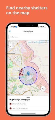
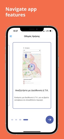
SafeCY allows users to locate the nearest shelters based on their current location or by entering an address or postal code. Using GPS and an interactive map, users can view nearby shelters and access basic information such as their capacity. It is a useful tool for preparedness and safety in emergency situations.
Latest release
What’s New
Added notifications to help users stay informed and safe. Updated shelter information.
Audience growth
Ratings growth
Baseline captured. Growth appears after the crawler observes a changed rating count.
Momentum comes from crawler snapshots for the tracked storefront. “Viral growth signal” means unusually fast recent rating gains; it is an indicator, not download data.
Price tracking
Price intelligence
First snapshot captured. The trend line starts after the next crawler price observation.
- First observed Aug 19, 2026 · 11:47 PM Free
Screenshots