About this app
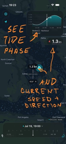
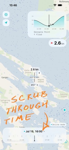
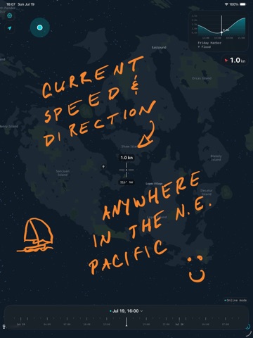
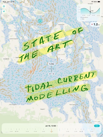
Salish Tides is an offline-first map of tidal currents and tide heights for the Salish Sea. When you're online it shows real-time surface-current forecasts from the SalishSeaCast model. When you're offline it falls back to harmonic predictions computed on your device — so it keeps working with no signal. It's a planning aid for paddlers, sailors, and anyone who works around the tide. It's a passion project - something I found genuinely useful - made possible by people smarter than me - s/o all the researchers and scientists who worked on the models. I did draw the logo all by myself. Made for the water • Light, dark, and satellite themes • Shows your GPS position on the map The data - SalishSeaCast ocean model (UBC) - Tide heights come from NOAA Tides & Currents and the Canadian Hydrographic Service. Salish Tides is a planning aid, not an official source for navigation. Always consult official charts, tide tables, and current atlases, and keep a proper watch.
Latest release
What’s New
- Introducing satellite map style - Some big updates to how the app interprets and renders current data. It all amounts to more accuracy, especially around passages and narrows.
Audience growth
Ratings growth
Baseline captured. Growth appears after the crawler observes a changed rating count.
Momentum comes from crawler snapshots for the tracked storefront. “Viral growth signal” means unusually fast recent rating gains; it is an indicator, not download data.
Price tracking
Price intelligence
First snapshot captured. The trend line starts after the next crawler price observation.
- First observed Aug 21, 2026 · 1:53 AM Free
Screenshots