About this app
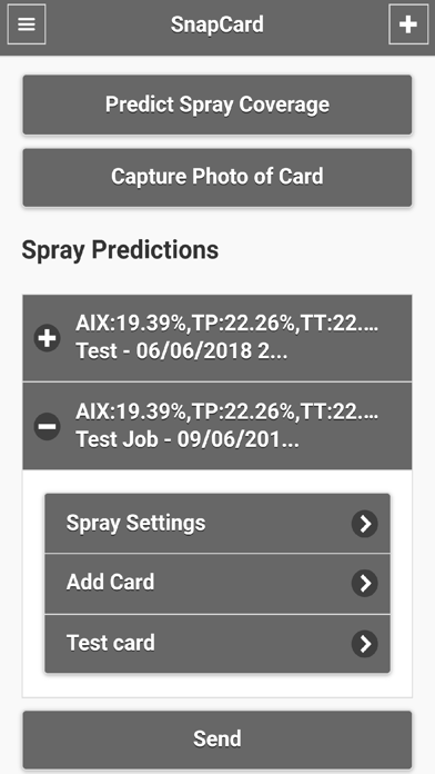
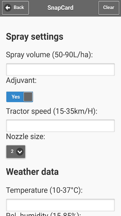
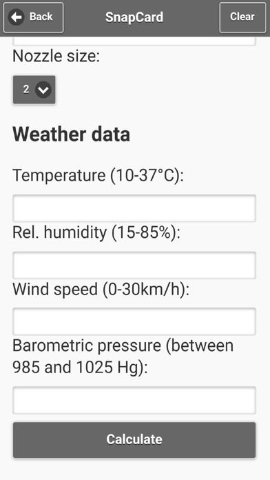
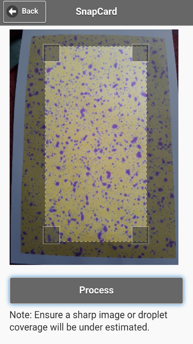
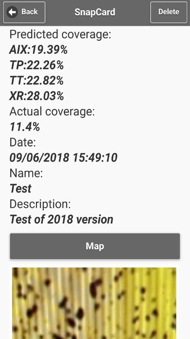
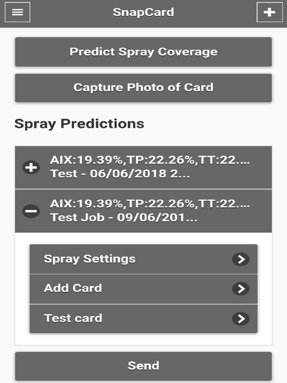
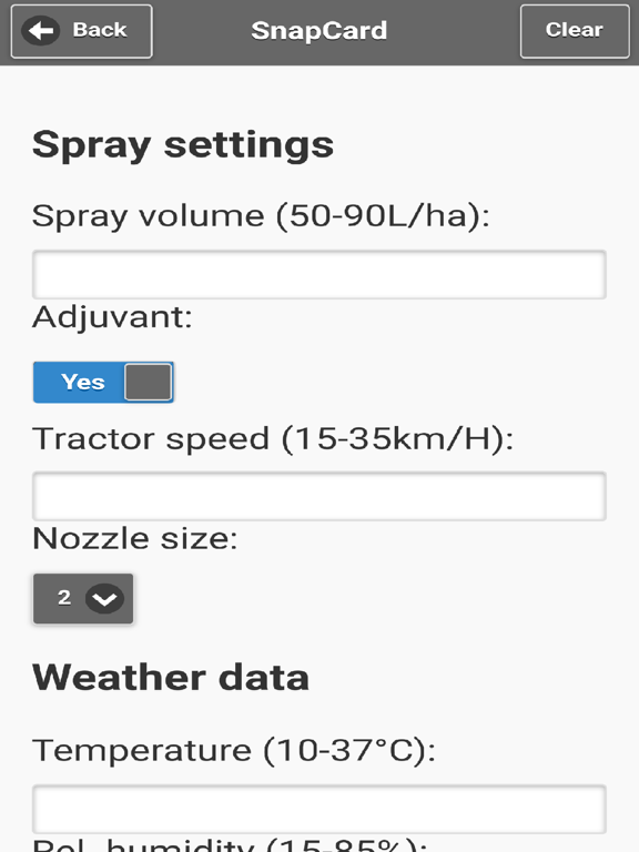
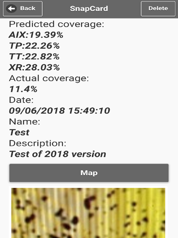
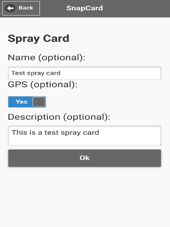
Spray applications represent an important cost to growers and prior to SnapCard there were no quantitative procedures available to predict or measure efficacy and performance. SnapCard was developed by the University of Western Australia and the Department of Agriculture and Food to enable growers to predict spray coverage based on weather conditions and spray settings as well as record, measure, interpret and archive actual spray coverage providing better pest control, reduced risk of pesticide resistance development and optimisation of spray application costs. SnapCard provides growers with access to a valuable decision support tool that can be used in three important ways: . Predicting spray coverage based on current conditions; time of day, tractor speed, spray nozzles, spray volume, boom height, adjuvants, and weather conditions . Comparing actual spray coverage with water sensitive spray cards, to the predicted spray coverage . Record keeping of treatment details and performance on a secure Department of Agriculture and Food server to comply with Health (Pesticides) Regulation 77 which requires treatment details to be recorded within two business days and held for three years. Typical usage of the SnapCard app and associated website involves: . Prediction of spray coverage by inputting spray volume, adjuvant (yes/no), tractor speed, nozzle size (2-4) along with weather data of temperature, humidity and windspeed. . Predicted coverage can then be refined by changing spray settings for “what if” analysis. . Predicted coverage can be saved along with spray settings and additional treatment details of Job ID, address, operator name, other persons, equipment used, pesticide, active constituent and rate. . Spray cards can then be placed in the field and the text location, optional GPS co-ordinates and comments recorded. . Following treatment, spray cards can be photographed by SnapCard and the image cropped to the area of the card with droplets. . Actual coverage is then calculated by SnapCard and compared with predicted coverage. . Users create or log into the SnapCard website and all data is synchronised and archived on a Department of Agriculture and Food server at: http://agspsrap31.agric.wa.gov.au/snapcard
Latest release
What’s New
This app has been updated by Apple to prepare for watchOS 27 compatibility. No new features are included. Numerous improvements
Audience growth
Ratings growth
Baseline captured. Growth appears after the crawler observes a changed rating count.
Momentum comes from crawler snapshots for the tracked storefront. “Viral growth signal” means unusually fast recent rating gains; it is an indicator, not download data.
Price tracking
Price intelligence
First snapshot captured. The trend line starts after the next crawler price observation.
- First observed Sep 4, 2026 · 8:26 AM Free
Screenshots