About this app
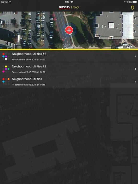
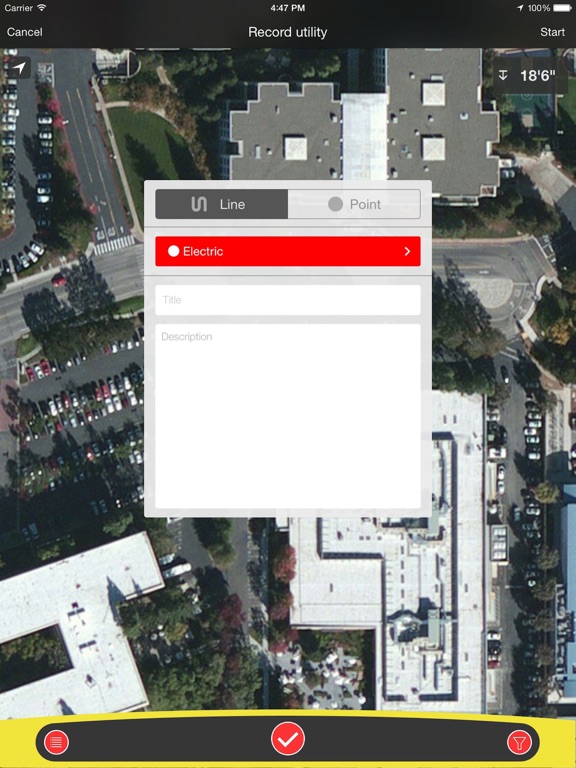
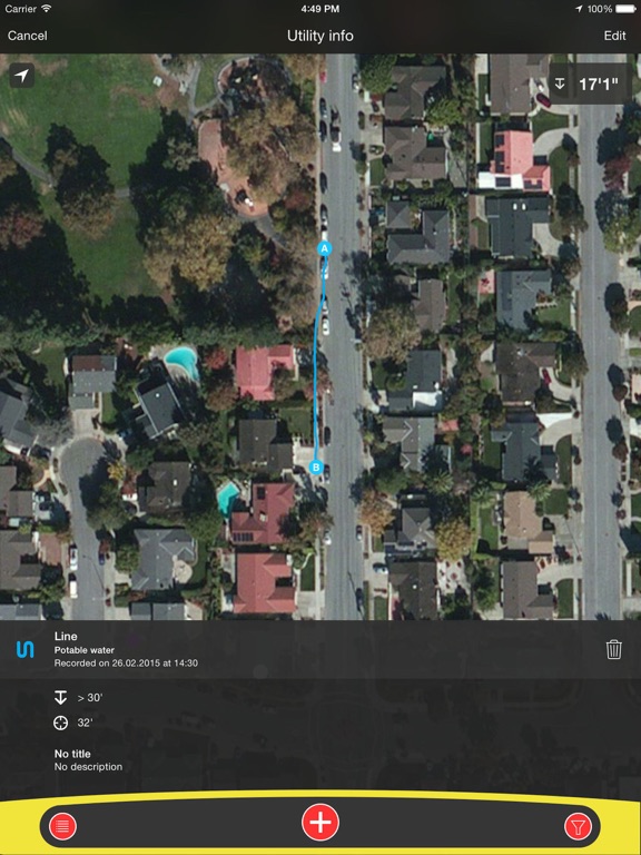
RIDGID Trax is a tool that allows for basic underground utility mapping in real-time. By wirelessly connecting a mobile device via Bluetooth to a RIDGID SR-24 Utility Locator, RIDGID Trax can provide the GPS position and depth of the target utility. Not only can you identify the type of utility, such as water, gas, or electric, but multiple utilities can also be displayed on the same map. Additionally, a finished map can be saved and viewed within the app, or exported to a *.KML file which can be used with popular GIS programs.
Latest release
What’s New
Bug fixes and stability improvement.
Audience growth
Ratings growth
Baseline captured. Growth appears after the crawler observes a changed rating count.
Momentum comes from crawler snapshots for the tracked storefront. “Viral growth signal” means unusually fast recent rating gains; it is an indicator, not download data.
Price tracking
Price intelligence
First snapshot captured. The trend line starts after the next crawler price observation.
- First observed Aug 12, 2026 · 4:41 AM Free
Screenshots