About this app
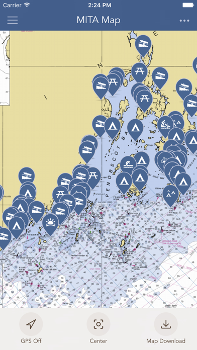
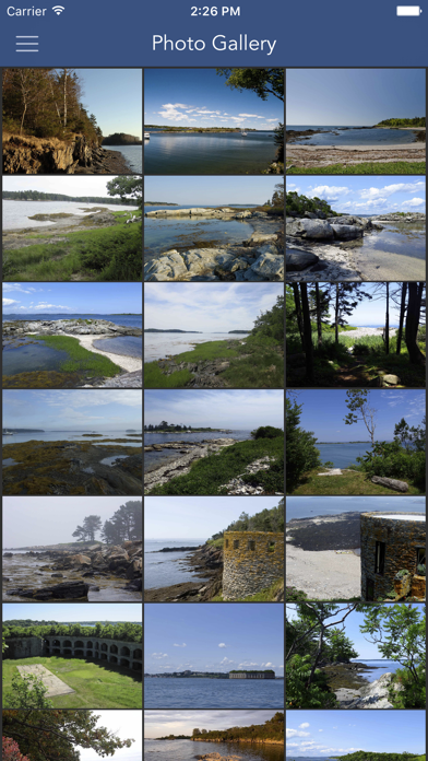
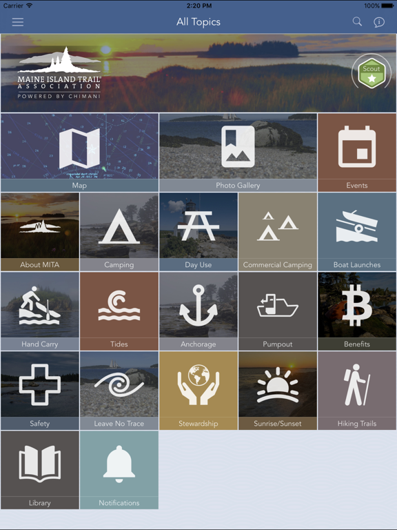
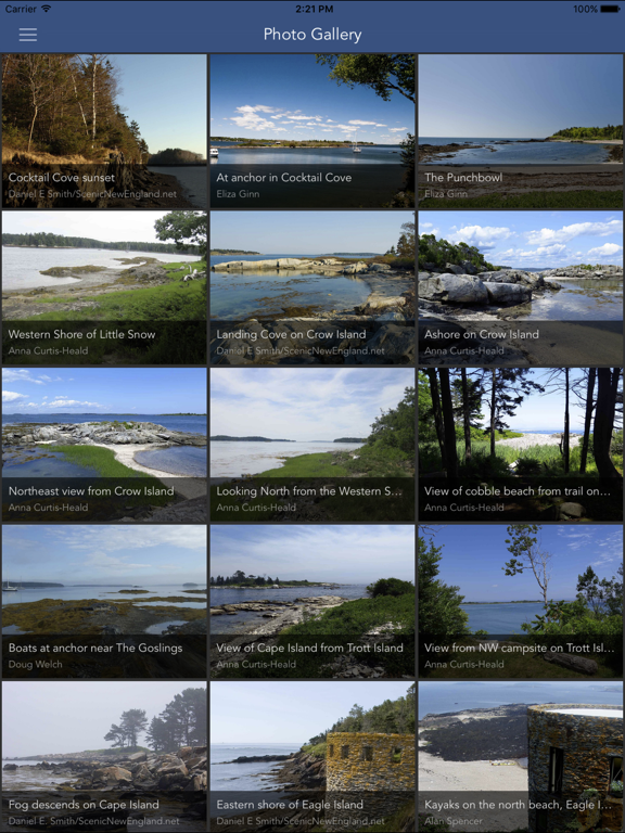
The Maine Island Trail is a water trail that connects over 200 islands and mainland sites along the Coast of Maine. The first recreational water trail in North America, the Maine Island Trail allows small boaters to explore and camp among thousands of islands in the most spectacular paddling/cruising grounds in the continental US. Partnering with Maine-based, Chimani, the Maine Island Trail Association (MITA) has developed an app for its members and the public to explore the Trail virtually. This free app allows anyone to view some publicly-owned islands, learn about the Trail, see spectacular photos, pump-outs, tide charts, safety information, and launch sites, and to see MITA news and events, etc. Membership with MITA is required to view privately-owned sites. Continued use of GPS running in the background can dramatically decrease battery life.
Latest release
What’s New
• Fixed an issue that could cause database updates to fail or crash in certain situations. • Improved My Location reliability on maps, so your location remains active more consistently across app launches and navigation changes. • Additional bug fixes and performance improvements.
Audience growth
Ratings growth
Baseline captured. Growth appears after the crawler observes a changed rating count.
Momentum comes from crawler snapshots for the tracked storefront. “Viral growth signal” means unusually fast recent rating gains; it is an indicator, not download data.
Price tracking
Price intelligence
- First observed Aug 5, 2026 · 9:35 AM Free
Screenshots