About this app
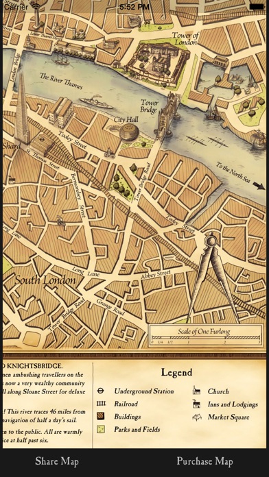
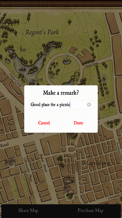
An illustrated, vintage London map that you can annotate as you wish. ** "10 of the best hand-drawn maps." - The Guardian ** This vintage-looking, hand-drawn map, entitled Grand Map of London, took over three years to produce and accurately describes the capital city of London in 2012 during the reign of Queen Elizabeth II. In the 1800s, diplomats and merchants from around the world arrived in the port of London and would buy meticulously crafted maps which also served as gifts, ornaments, and elegant tokens of remembrance. As the city changed, so has the look of its maps – but not ours. Our current day maps have kept the same style true to the originals used in the days of Arthur Wellesley, 1st Duke of Wellington. Get the Grand Map of London on your iPhone and view it in high resolution before purchasing it for your home or travels. Learn more at www.wellingtonstravel.com
Latest release
What’s New
This update from Apple will improve the functionality of this app. No new features are included. - improved analytics
Audience growth
Ratings growth
Baseline captured. Growth appears after the crawler observes a changed rating count.
Momentum comes from crawler snapshots for the tracked storefront. “Viral growth signal” means unusually fast recent rating gains; it is an indicator, not download data.
Price tracking
Price intelligence
First snapshot captured. The trend line starts after the next crawler price observation.
- First observed Aug 19, 2026 · 3:09 AM Free
Screenshots