About this app
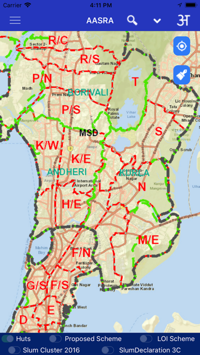
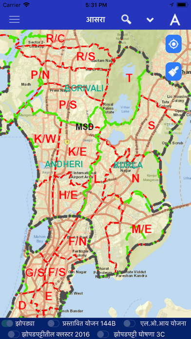
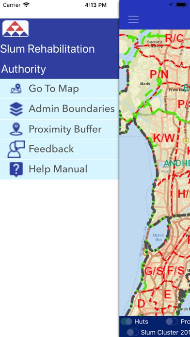
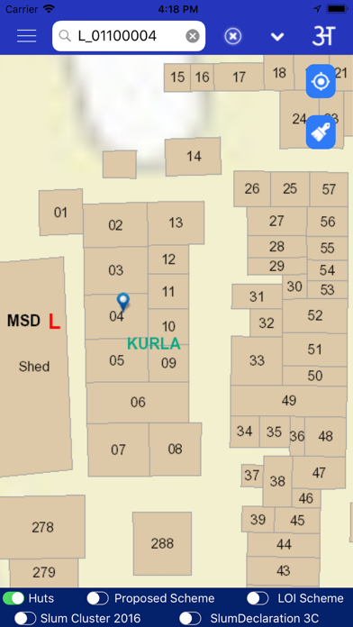
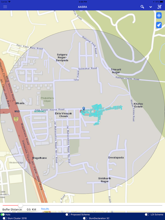
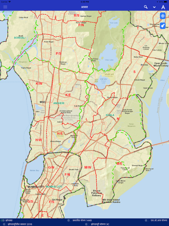
To provide citizen centric information of SR schemes on mobile, based on user location where GIS data for slums spread over entire Mumbai Municipal Corporation area has been created.This encompasses layers containing boundaries of District,Taluka,Ward,Village,Slum Cluster,SR Schemes,Huts,etc. This GIS Mobile App is developed with the support of Utility Mapping Division of NIC,New Delhi
Latest release
What’s New
Updated new SRA secure map services
Audience growth
Ratings growth
Baseline captured. Growth appears after the crawler observes a changed rating count.
Momentum comes from crawler snapshots for the tracked storefront. “Viral growth signal” means unusually fast recent rating gains; it is an indicator, not download data.
Price tracking
Price intelligence
First snapshot captured. The trend line starts after the next crawler price observation.
- First observed Aug 13, 2026 · 9:23 AM Free
Screenshots