About this app
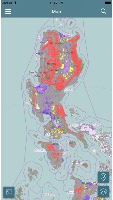
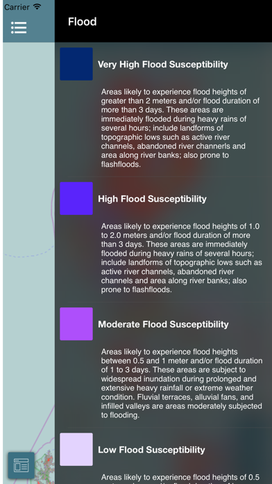
An interactive mobile application that offers the Philippine Geohazard Map on a scale of 1:10,000 as default reference. It provides the public with timely information on hazards and vulnerabilities. The public can access it to know landslide and flood-prone areas that may affect lives and properties. The app is a good source of disaster warnings, emergency alerts, situational reports, other important advisories and relevant tips on safety and disaster preparedness. The public can report situational occurrences of landslides and floods through Facebook and The mobile app is a useful tool in disaster preparedness in the face of climate change.
Latest release
What’s New
This update from Apple will improve the functionality of this app. No new features are included. + minor stability fix and os compatibility
Audience growth
Ratings growth
Baseline captured. Growth appears after the crawler observes a changed rating count.
Momentum comes from crawler snapshots for the tracked storefront. “Viral growth signal” means unusually fast recent rating gains; it is an indicator, not download data.
Price tracking
Price intelligence
First snapshot captured. The trend line starts after the next crawler price observation.
- First observed Aug 20, 2026 · 12:01 PM Free
Screenshots