About this app
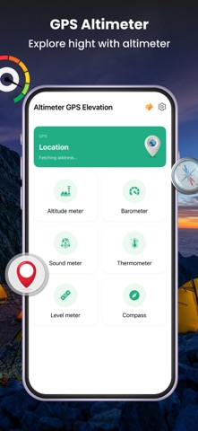
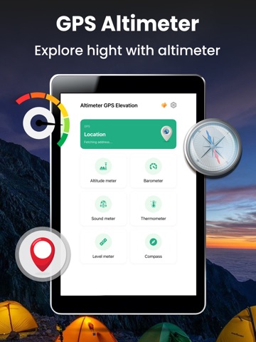
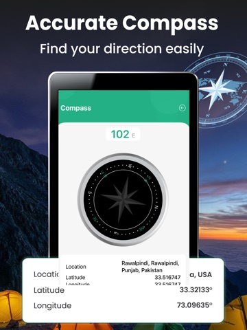
Are you a Tourist who loves to climb mountains? Now to check the pressure levels, surface distance area above sea level by using your barometer sensor present in your phone. Altimeter-Measure the altitude level above sea level. If you are a fisher men or we can say if you are a sailor you can use this Altimeter and barometer application with which you can check and measure the atmospheric pressure and the weather that how much wind pressure and other factors that can effect on your fishing. So monitoring all these things under your control you can have good fishing tour every time. You can check the altitude of your real current location easily. Through the automatic detection of level with barometer and altitude meter we will give you the most precise values mentioning the GPS co-ordinates and also the wind pressure calibration algorithm. It’s an offline and online altimeter with GPS that can find the elevation with altitude meter to the barometric altitude meter. Accurate elevation measurement with altimeter sensor that can change the elevation and GPS Elevation and route elevation by current altimeter with current altimeter application. Shows the atmospheric pressure and will give you an accurate reading of it. Current altitude of route elevation and the sea level with compass and elevation with show my location the barometric pressure. Current altimeter with measuring air pressure to check the weather and accuracy of level above the sea surface. It is an altimeter compass with the elevation application with the accurate altimeter to gps elevation. It can be used usually when you are on hill top with altimeter gps elevation by getting your longitude and latitude of your current location and tells you about the altitude through the barometric digital values. Altimeter-Scale for measuring the altitude of your present location. This application is mostly used by the hiking sportsmen or the hill climbers those who want to see their position how much above they are from sea level surface. Now you may ask what my location vertical surface is.Find my elevation above sea level! Fishing can be done a lot more interesting and easy by calculating and monitoring the atmospheric pressure of your current location you are on as it can help you about the location you are on and the vertical surface position height. You can know about the exact location height where you are standing through the barometer sensor and gps location. By detecting you current location from gps system we are using barometric sensor which will help you to show you the altitude of the location you are standing by so you check the actual level of your height above the sea level. Even if you are a sports men and like to swim or you want to catch fishes this application will help you to give you an accurate level of height you had above the sea so to make it easy for you to do fishing. So these are the basic usages and purpose of this application. Privacy Policy: https://sites.google.com/view/altimeter-privacy-policy-ios/home Terms of Usage: https://sites.google.com/view/altimeter-privacy-policy-ios/terms-of-usage
Latest release
What’s New
** Performance improvements ** Fixed GPS Altimeter Issues ** My Altitude ** Record your Altitude data
Audience growth
Ratings growth
Baseline captured. Growth appears after the crawler observes a changed rating count.
Momentum comes from crawler snapshots for the tracked storefront. “Viral growth signal” means unusually fast recent rating gains; it is an indicator, not download data.
Price tracking
Price intelligence
First snapshot captured. The trend line starts after the next crawler price observation.
- First observed Aug 19, 2026 · 1:04 AM Free
Screenshots