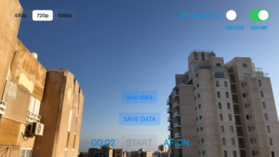
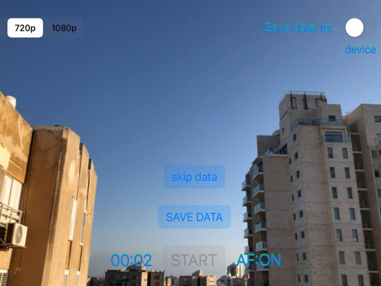
About this app
AR Scanner is designed for Arcona AR World users. It allows to collect and send terrain datasets to the Arcona server. The dataset consists of a video sequence, imu data (accelerometer + gyroscope) and gps. On the Arcona server, the dataset will be processed and turned into a map of the area. After that, the owner of this mapped area will be able to remotely and accurately place 3D content on it, and all Arcona users in this area will be able to accurately position and observe 3D content.
Latest release
What’s New
Added indication of the quality of the collected dataset. - While collecting, the user receives visual tips that will improve the quality of the resulting map. - Upon completion, a preliminary assessment of the quality of the map is displayed.
Audience growth
Ratings growth
Baseline captured. Growth appears after the crawler observes a changed rating count.
Momentum comes from crawler snapshots for the tracked storefront. “Viral growth signal” means unusually fast recent rating gains; it is an indicator, not download data.
Price tracking
Price intelligence
First snapshot captured. The trend line starts after the next crawler price observation.
- First observed Aug 25, 2026 · 9:34 PM Free
Screenshots