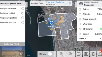
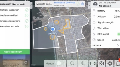
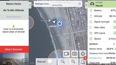
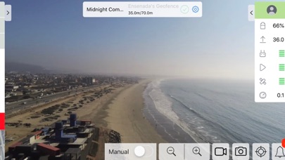
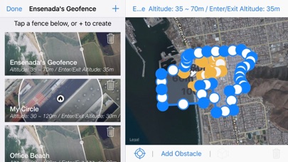
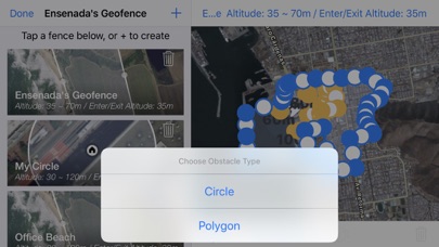
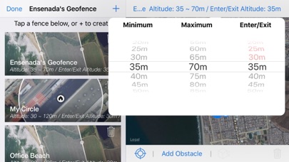
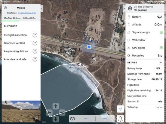
About this app
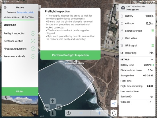
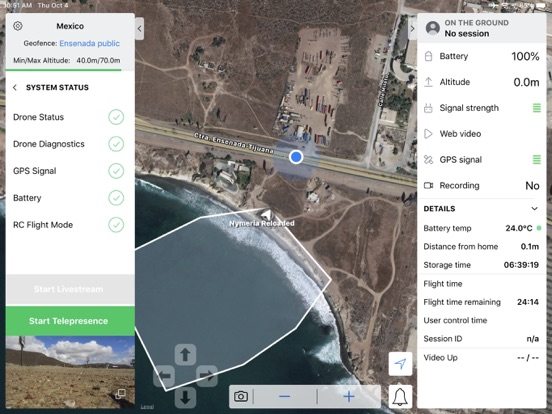
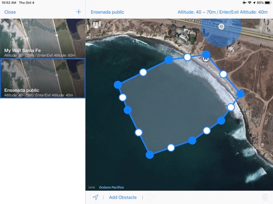
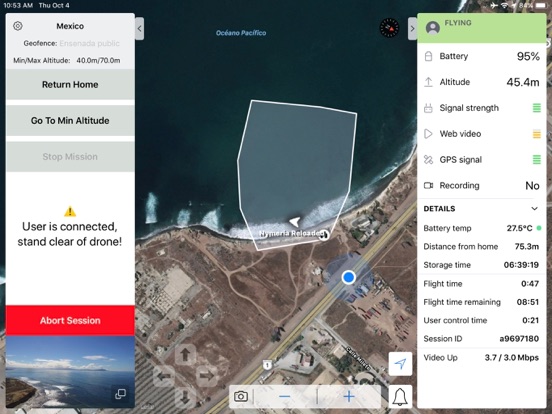
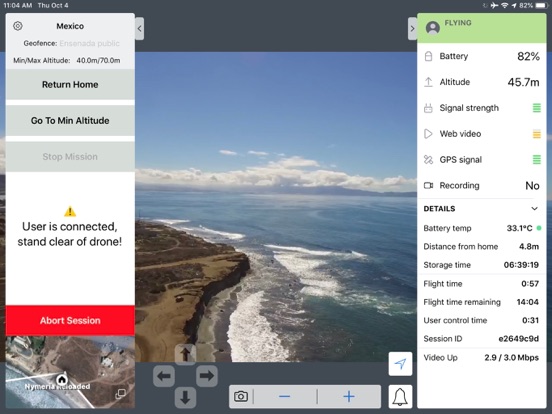
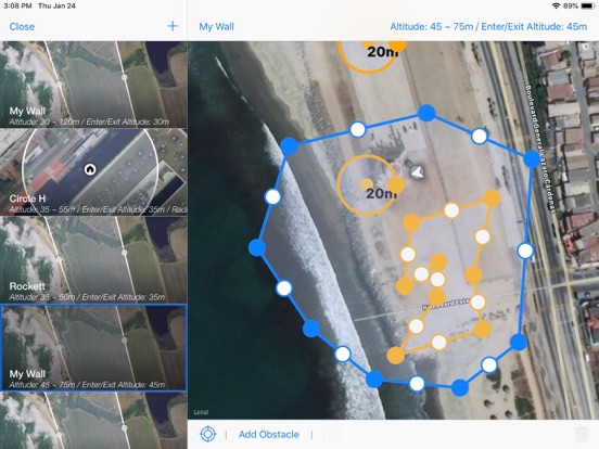
CAPE is a scalable drone software solution that allows agencies to stream live video, capture evidence, and operate drones remotely from a centralized location. Increase officer safety, improve response time, and augment operational efficiency with the scalable and cost-effective CAPE solution. CAPE Pilot supports multiple hardware products including various DJI drones and Parrot drones, enabling remote users to jump into the virtual cockpit of supported drones with a FAA section 107 licensed pilot-in-command with complete safety. With approval by the FAA for Beyond-Visual-Line-of-Sight (BVLOS) operations, one remote user can pilot any number of drones at the same time to maximize situational awareness and incident response time. SHORTEN RESPONSE TIMES - Quickly get to the scene to better inform situational awareness and incident response REMOTE DEPLOYMENT AND OPERATIONS - Manage your drone fleet, control video feeds and view alerts directly from public safety operations center INSTANT VIDEO SHARING - Instantly select and mobilize live video streams to operators, field commanders and response teams TRUSTED AND SECURE - Solution architecture is designed to protect sensitive data and system operations COST EFFECTIVE SOLUTION - Dispatching drones as part of emergency response has been shown to reduce response times and allow agencies to gain faster situational awareness at a lower cost. REMOTE OPERATION - Allow drone pilots to hand off drone control to a remote operator when aerial support or expert eyes are required to gain a clear view of the situation. With aerial telepresence drones can be remotely operated from anywhere. This enables remotely gathering aerial intelligence and integrated operational workflows. LIVE STREAM - Rapidly deploy drones and stream live, high quality video to individuals and groups. Get expert eyes on scene in the moments that matter most. Aerial intelligence improves situational awareness and enables remote viewing, informing both subject matter experts and responding teams while reducing the need to visit remote, and hard to access locations. CAPTURE EVIDENCE - Gather high-quality images and video suitable for evidentiary use. Show an incident developing from a perspective that in-car and body-worn cameras cannot offer.
Latest release
What’s New
New features and bug fixes.
Audience growth
Ratings growth
Baseline captured. Growth appears after the crawler observes a changed rating count.
Momentum comes from crawler snapshots for the tracked storefront. “Viral growth signal” means unusually fast recent rating gains; it is an indicator, not download data.
Price tracking
Price intelligence
First snapshot captured. The trend line starts after the next crawler price observation.
- First observed Aug 23, 2026 · 1:27 AM Free
Screenshots