About this app
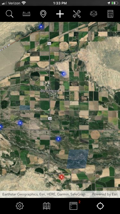
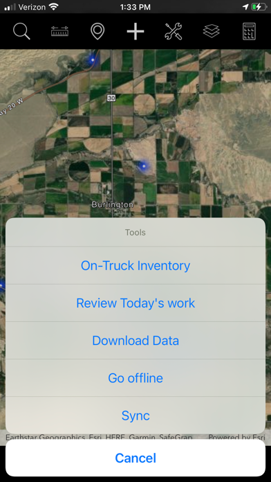
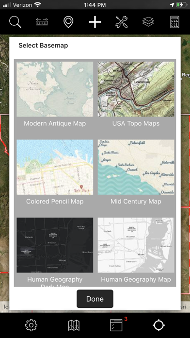
The FieldSeeker GIS for Invasive Plants cross-platform mobile app (CPMA) is an easy and convenient way for noxious weed and invasive plant control operations to record and view field activities related to chemical and mechanical treatments, bio-releases, field scouting, service requests, treatment plans, drone/UAV flights, and product inventory. With FieldSeeker Invasive Plants Mobile, field techs and supervisors can record and view activities such as chemical treatments, mechanical treatments, plant occurrences, assessments, bio-releases, and proposed treatment areas; view restricted areas; select from multiple Esri basemaps; respond to service requests; attach pictures; get directions; take measurements; etc. Everything you need in a mobile app for invasive plant management field operations is included. FieldSeeker Invasive Plants Mobile is built using the Esri Runtime SDK for Xamarin 100.x. The mobile app is pointed to a test and demonstration service that is not intended for production use. To use in production, the app must be pointed to a licensed and configured FieldSeeker Invasive Plants Webmap and feature service in ArcGIS Online.
Latest release
What’s New
App Name change
Audience growth
Ratings growth
Baseline captured. Growth appears after the crawler observes a changed rating count.
Momentum comes from crawler snapshots for the tracked storefront. “Viral growth signal” means unusually fast recent rating gains; it is an indicator, not download data.
Price tracking
Price intelligence
First snapshot captured. The trend line starts after the next crawler price observation.
- First observed Sep 16, 2026 · 5:08 AM Free
Screenshots