About this app
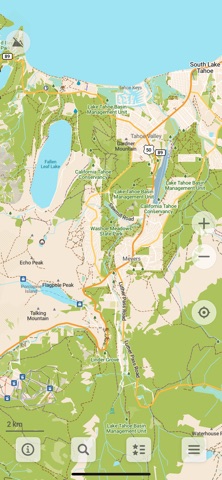
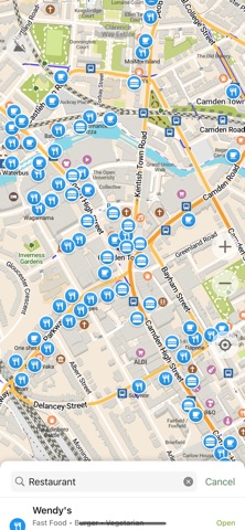
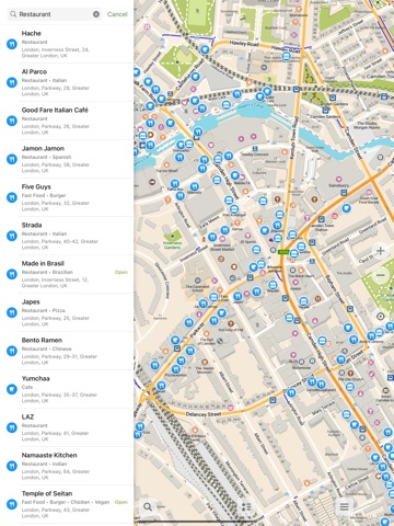
A community-led free & open source maps app based on OpenStreetMap data and reinforced with commitment to transparency, privacy and being not-for-profit. ‣ Simple and Polished: essential easy to use features that just work. ‣ Offline-focused: Plan and navigate your trip abroad without the need for cellular service, search waypoints while on a distant hike, etc. All app functions are designed to work offline. ‣ Respecting Privacy: The app is designed with privacy in mind - does not identify people, does not track, and does not collect personal information. Ads-free. ‣ Saves Your Battery and Space: Doesn’t drain your battery like other navigation apps. Compact maps save precious space on your phone. ‣ Free and Built by the Community: People like you helped build the app by adding places to OpenStreetMap, testing and giving feedback on features and contributing their development skills and money. ‣ Open and Transparent Decision-making and Financials, Not-for-profit and Fully Open Source. Main Features: • Downloadable detailed maps with places which are not available in many commercial maps • Outdoor mode with highlighted hiking trails, campsites, water sources, peaks, contour lines, etc • Walking paths and cycleways • Points of interest like restaurants, gas stations, hotels, shops, sightseeings and many more • Search by name or an address or by point of interest category • Navigation with voice announcements for walking, cycling, or driving • Bookmark your favorite places with a single tap • iCloud sync for your bookmarks and tracks • Offline Wikipedia articles • Subway transit layer and directions • Track recording • Export and import bookmarks and tracks in KML, KMZ, GPX formats • A dark mode to use during the night • Improve map data for everyone using a basic built-in editor • CarPlay support Freedom Is Here Discover your journey, navigate the world with privacy and community at the forefront!
Latest release
What’s New
Hotfix to solve one crash in 2026.07.16 • Added road shields to next turn direction signs • Added lane guidance and improved next turn descriptions • Improved turn instructions for roundabouts, U-turns and other cases • Added turn-by-turn directions preview to the route building screen • Rotate the map slightly towards route while in driving navigation • Display numbers of parking spaces with electric chargers and for disabled drivers • More preference for nearby results in search • CarPlay: added exit number to the roundabout directions sign • Outdoor style: softened borders of minor (white) roads • Added stages, animal boarding places and planetariums, Brazil, Norway and grey Latvia road shields • Reduce ferry landing penalty for cars routing • Always check for updates before downloading maps • OpenStreetMap data as of July 14 and further weekly updates
Audience growth
Ratings growth
Baseline captured. Growth appears after the crawler observes a changed rating count.
Momentum comes from crawler snapshots for the tracked storefront. “Viral growth signal” means unusually fast recent rating gains; it is an indicator, not download data.
Price tracking
Price intelligence
First snapshot captured. The trend line starts after the next crawler price observation.
- First observed Aug 31, 2026 · 6:09 AM Free
Screenshots