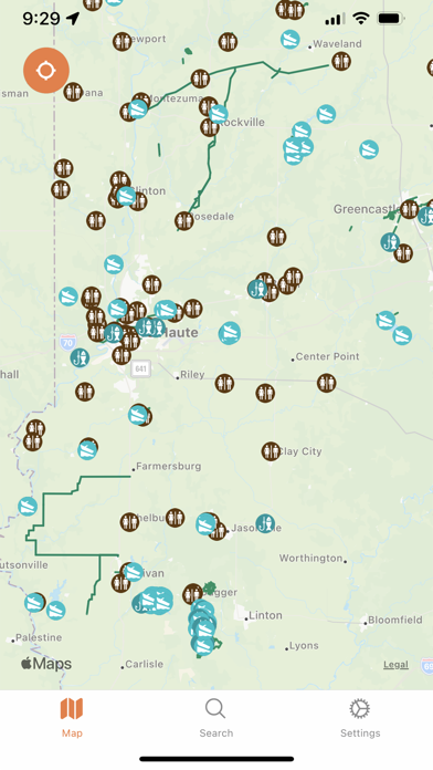
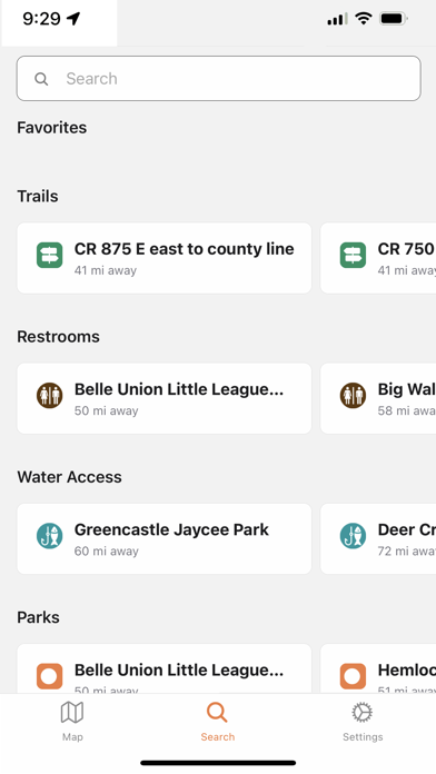
About this app
Crossroads Trails was created to help residents and visitors navigate West Central Indiana’s vast network of trails and outdoor amenities. With easy-to-use mapping features and amenity layers, this app is the perfect tool for trail users of all experience levels. Currently, we are working on expanding our content layers to provide even more useful information down the road. Our current content includes Parks, Current Trails, Planned Trails, Trailheads, Water Access & Restrooms. We plan to work with our users to expand the accuracy and add useful information such as trail-friendly businesses and other amenities along with trail types. Covering Clay, Parks, Putnam, Sullivan, Vermillion, and Vigo Counties. Added more info section support
Latest release
What’s New
Bug fixes and performance improvements
Audience growth
Ratings growth
Baseline captured. Growth appears after the crawler observes a changed rating count.
Momentum comes from crawler snapshots for the tracked storefront. “Viral growth signal” means unusually fast recent rating gains; it is an indicator, not download data.
Price tracking
Price intelligence
First snapshot captured. The trend line starts after the next crawler price observation.
- First observed Aug 24, 2026 · 11:57 AM Free
Screenshots