About this app
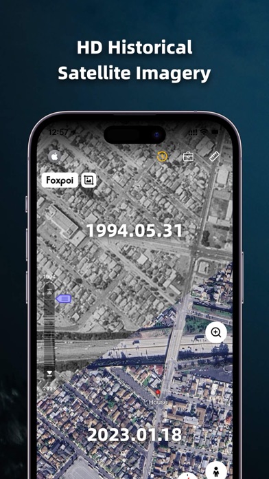
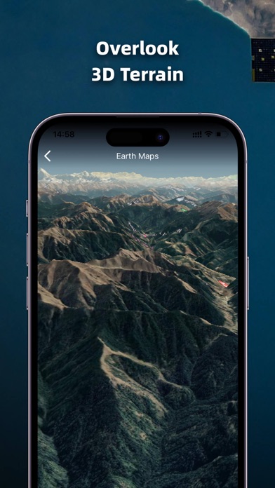
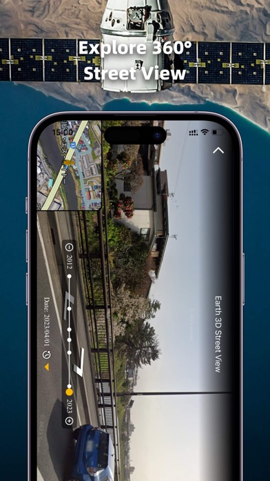
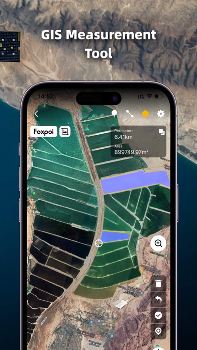
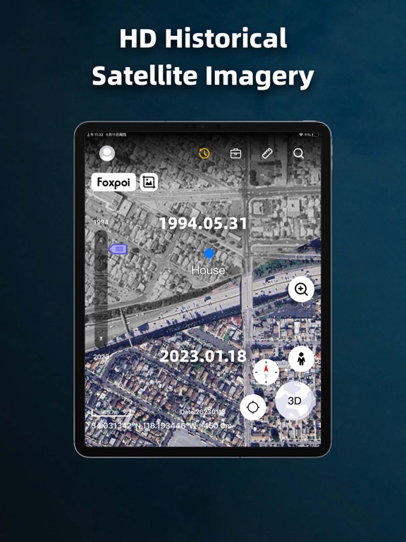
1. High-definition 3D globe 2. Load map tile data 3. Oriental compass function 4.historical street view 5.Measuring area distance 6.latest satellite imagery World Satellite Map allows you to view any place on Earth using photos taken from satellites. The advantage of the world satellite map over other maps is that the satellite map allows you to consider the surface terrain, forests, rivers, lakes, buildings, roads in sufficient detail with a high degree of detail. With satellite maps, you can travel the world online without leaving your phone. From world satellite map.
Latest release
What’s New
1.Optimize the UI layout and interaction logic of the location info pop-up on homepage. 2.Upgrade service capabilities of customer service assistant.
Audience growth
Ratings growth
Momentum comes from crawler snapshots for the tracked storefront. “Viral growth signal” means unusually fast recent rating gains; it is an indicator, not download data.
Price tracking
Price intelligence
- First observed Aug 10, 2026 · 4:53 PM Free
Screenshots