About this app
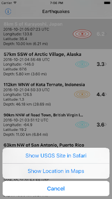
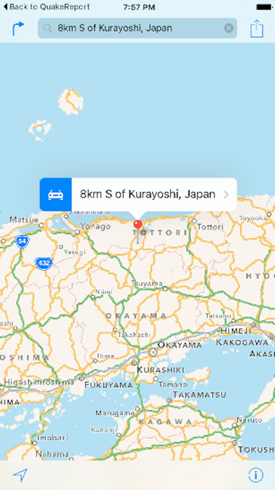
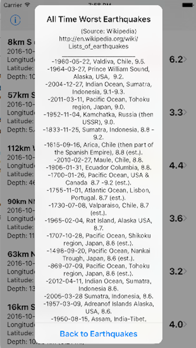
This app downloads the United States Geological Survey (USGS) data on worldwide 2.5 magnitude and above earthquake activities of the past 7 days. Every time the table view is pulled down, a "Pull to Refresh" control adds the most recent earthquake(s) to the list of earthquakes. The earthquakes list includes the location, date, time, latitude, longitude and earthquake depth data. A map view can be generated for each earthquake listed in the table view by entering its latitude and longitude coordinates on a 2nd view. The map will then be scaled to the general earthquake region, pin-pointing the epicenter of the quake with of a drop pin. To evaluate the relative severity of earthquakes a list of worst earthquakes in history is provided on a third view. "Image courtesy of the Image Science & Analysis Laboratory, NASA Johnson Space Center" Roll-Frame:148-22727.
Latest release
What’s New
Compatibility with latest iOS version.
Audience growth
Ratings growth
Baseline captured. Growth appears after the crawler observes a changed rating count.
Momentum comes from crawler snapshots for the tracked storefront. “Viral growth signal” means unusually fast recent rating gains; it is an indicator, not download data.
Price tracking
Price intelligence
First snapshot captured. The trend line starts after the next crawler price observation.
- First observed Aug 27, 2026 · 1:38 PM Free
Screenshots