About this app
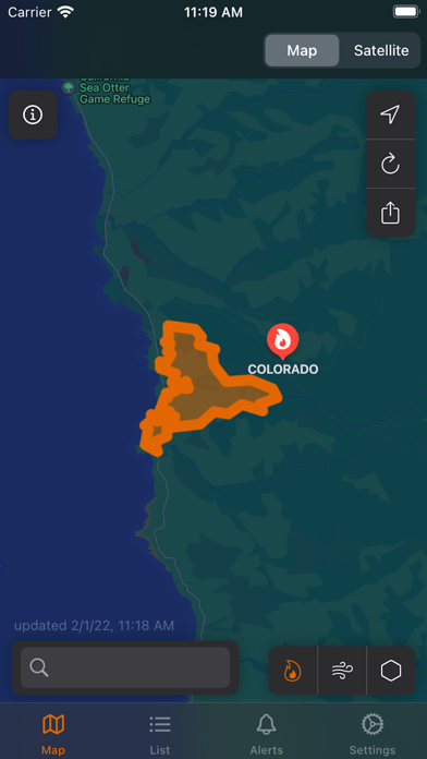
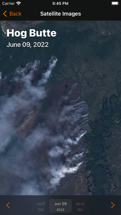
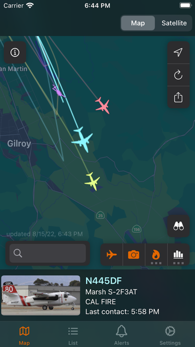
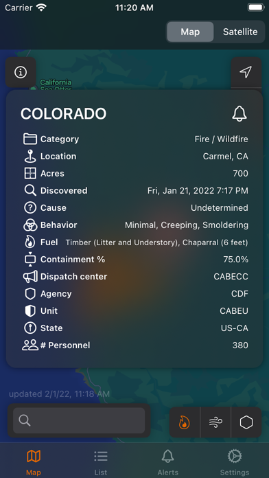
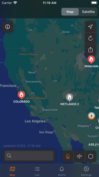
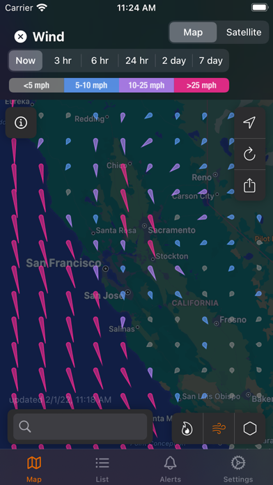
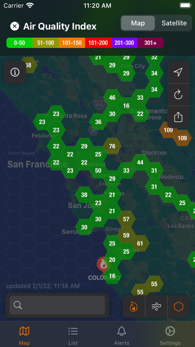
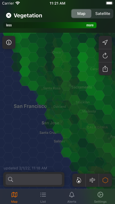
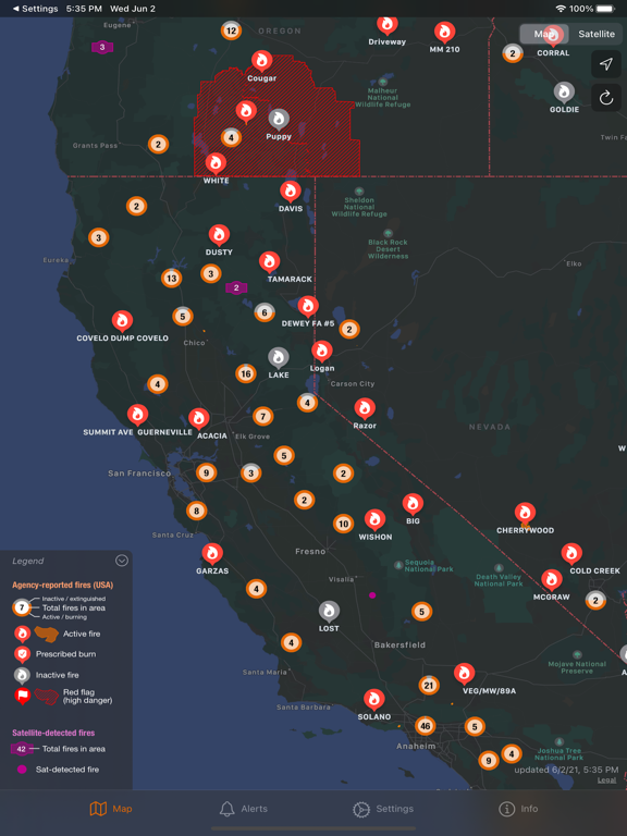
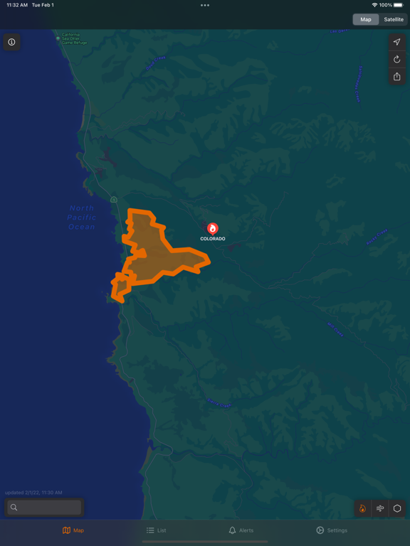
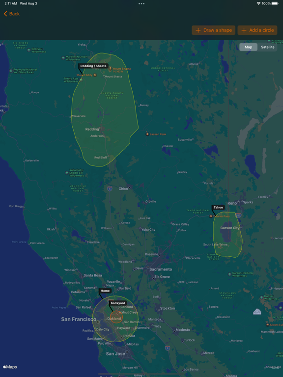
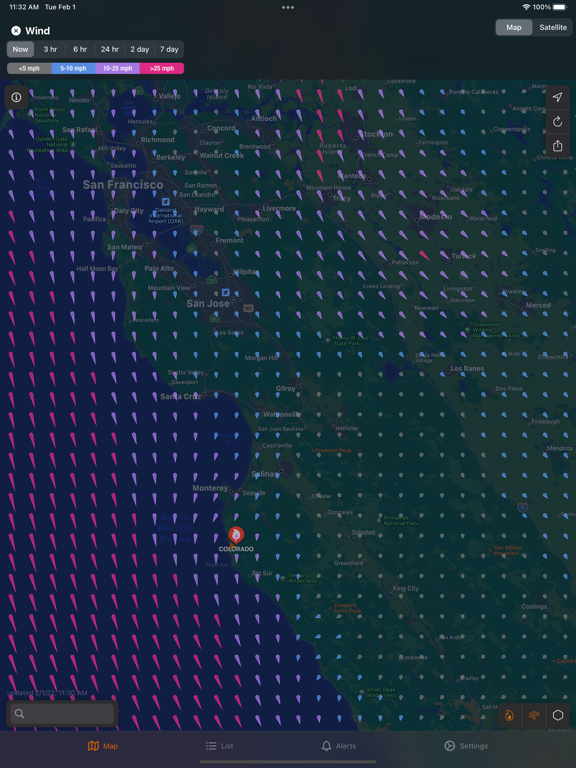
Firespot is the most complete source of real time wildfire information. Worldwide coverage via satellite data, plus super-detailed agency fire data for the US and Canada. - Perimeters and fire status - Aircraft tracking - Satellite images - Wind - Air quality - Red flag warnings - Satellite-detected fires - Satellite climatological data: vegetation, moisture, etc. Firespot subscribers can activate Alerts to receive notifications on important fire-related events. Set one or multiple areas to monitor, and Firespot will pop an alert on your phone when an important change happens. FREE TIER: Use the map, view all fires and red flag warnings. PAID TIER: Customized alerts, get notifications on your device, access all satellite images, see real-time firefighting aircraft tracking. Firespot is not meant as a replacement for local evacuation alerts and information. Privacy Policy: https://www.firespotapp.com/privacy Terms of Use: https://www.firespotapp.com/terms
Latest release
What’s New
- Fixed a crash on some older versions of iOS
Audience growth
Ratings growth
Baseline captured. Growth appears after the crawler observes a changed rating count.
Momentum comes from crawler snapshots for the tracked storefront. “Viral growth signal” means unusually fast recent rating gains; it is an indicator, not download data.
Price tracking
Price intelligence
First snapshot captured. The trend line starts after the next crawler price observation.
- First observed Aug 10, 2026 · 5:02 PM Free
Screenshots