About this app
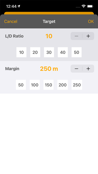
Compute a safe altitude for your glider plane on a local flight. The app uses the GPS to display your relative position to an airfield and compute a safe glide altitude according to the selected L/D ratio. Database includes airfields of 34 European countries. You may add your own waypoints and fields. Require iPhone or iPad with GPS. Include Apple Watch app (models with GPS). CAUTION : The app does not monitor the terrain clearance, but only glide angle.
Latest release
What’s New
Fix an issue in countries list.
Audience growth
Ratings growth
Baseline captured. Growth appears after the crawler observes a changed rating count.
Momentum comes from crawler snapshots for the tracked storefront. “Viral growth signal” means unusually fast recent rating gains; it is an indicator, not download data.
Price tracking
Price intelligence
First snapshot captured. The trend line starts after the next crawler price observation.
- First observed Aug 17, 2026 · 9:42 PM Free
Screenshots