About this app
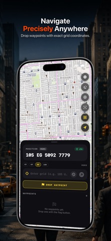
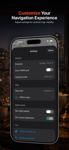
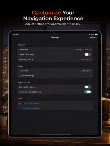
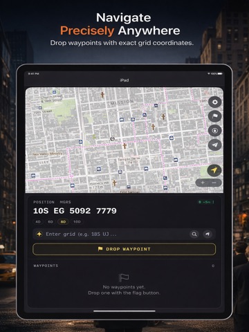
Paste a grid. See it on the map in seconds. GridNav puts MGRS, UTM, and lat-lon on screen the moment GPS locks, and works with zero signal. Built for soldiers learning land navigation, ROTC and OCS candidates, search-and-rescue volunteers, wildland fire crews, law enforcement tactical teams, and backcountry hunters who need a grid to land on a map without fighting their phone. WHY GRIDNAV • Read your position at a glance. Current location in MGRS, UTM, and lat-lon, in large high-contrast type. Pick which formats show and in what order. Switch precision from 4 to 10 digits. • Drop a pasted grid onto the map in one step. Paste an MGRS string from radio chatter, a text, or a notebook. The pin lands, the bearing shows, the distance counts up from where you stand. • Navigate where there is no signal. Download regions ahead of time, choose your detail level, and move with full offline maps. OpenStreetMap and USGS topo built in. • Read the grid without squinting. Clean MGRS overlay with labels at every zoom level. Adjustable opacity so the map stays useful underneath. • Save a spot with one tap. Drop a waypoint at your current position. Add a label, pick a color, tap to navigate back. • Keep your eyes adjusted. Red on black night mode for long movements after dark. • Use it with one hand under stress. Big tap targets, low cognitive load, fast even with gloves on. Battery polling tuned for hours in the field. HOW IT WORKS 1. Open GridNav. Your current grid is on screen the moment GPS locks. 2. Paste a grid into the input bar. The pin drops and the bearing shows. 3. Move toward it. Switch coordinate formats with one tap when you need to call it in. WHO IT IS FOR Soldiers and cadets running land navigation courses. ROTC and OCS candidates preparing for nav tests. Search and rescue volunteers reporting grids back to coordinators. Wildland firefighters calling positions to dispatch. Hunters working public land where lat-lon and waypoints matter more than turn-by-turn. WHAT IT IS NOT Team chat, mesh networking, route collaboration, and tactical-platform creep stay out of the build. GridNav holds to one job: working a grid coordinate on a map, fast, with or without signal. PRICING Free to try. Drop up to three waypoints, read your live coordinates, paste grids, and inspect the map with no time limit. One-time purchase unlocks offline map downloads and unlimited waypoints. No subscription. Get GridNav. Then go.
Latest release
What’s New
Improved & Fixed - Fixed a crash that could occur when downloading offline map areas. - Unlock screen now loads more reliably on slow or spotty connections, with a Retry option if it doesn't load the first time.
Audience growth
Ratings growth
Baseline captured. Growth appears after the crawler observes a changed rating count.
Momentum comes from crawler snapshots for the tracked storefront. “Viral growth signal” means unusually fast recent rating gains; it is an indicator, not download data.
Price tracking
Price intelligence
First snapshot captured. The trend line starts after the next crawler price observation.
- First observed Aug 16, 2026 · 10:04 PM Free
Screenshots