About this app
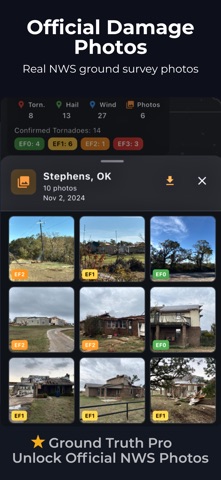
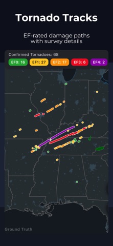
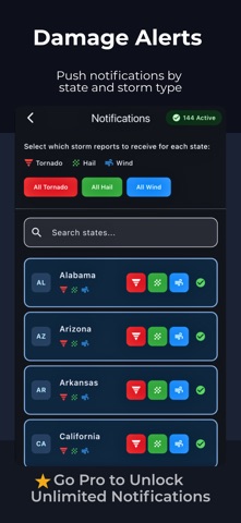
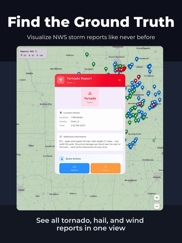
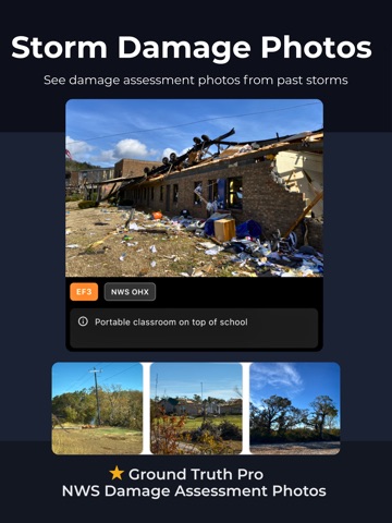
Ground Truth puts every official NWS wind, hail, and tornado report on one fast, interactive map. Pick any date back to June 1999 or track severe weather reports as they come in today. Tap any pin for NWS report details and one-tap links to radar, local news, scanners, and more. Purpose-built for spotters, chasers, disaster relief teams, emergency managers, and first responders, by a fellow disaster relief volunteer. WHAT YOU CAN DO - Plot tornado, hail, and damaging-wind reports for any day since June 1999 - View live Local Storm Reports (flash floods, wildfires, heavy rain, ice, and more) - See EF-rated tornado damage tracks from official NWS surveys, with length, width, peak wind, and more - Tap any report for instant links to radar, social feeds, scanners, and local media - Download data for the field and keep working with zero signal - Get alerts for NWS storm reports in the states you follow - Share storm summary maps instantly - Filter by report type, hail size, and wind speed BUILT FOR - Storm chasers and weather enthusiasts who want all the data - SKYWARN spotters and meteorologists verifying what actually happened - Emergency managers, CERT, ham radio operators and disaster-relief teams providing relief - Roofing/restoration teams and insurance adjusters confirming hail and wind damage by date and location FREE FOR EVERYONE - Every NWS storm report since June 1999 - Live Local Storm Reports (wildfire, rainfall totals, ice accumulations, and more) - EF-rated tornado damage tracks - Offline downloads for the field - Storm alerts for your state - Zero ads GROUND TRUTH PRO - NWS Damage Survey Photos: ground photos from official NWS tornado surveys, county by county - Unlimited Alerts: wind, hail, and tornado notifications - Custom Action Links: add your own quick links and dynamic search queries to every report Pro keeps the whole app ad-free and directly supports an independent developer, a fellow disaster-relief worker and volunteer who built Ground Truth to help others when storms hit. DATA SOURCE Reports, tracks, and survey photos come directly from the National Weather Service, NOAA Storm Prediction Center, and the NOAA Damage Assessment Toolkit, the same sources the professionals trust. We've built additional tools and resources on top of their verified data to help others prepare and respond faster. Ground Truth is an independent app from Red Sky Ready. It is not affiliated with or endorsed by NOAA or the National Weather Service. Privacy Policy: https://redskyready.com/privacy-policy/ Terms of Use (EULA): https://www.apple.com/legal/internet-services/itunes/dev/stdeula/
Latest release
What’s New
v1.4.0 • Tornado Tracks – view surveyed tornado paths on the map • Storm summary reports graphic • New location option • Improved pro damage photo experience • Bug fixes and performance improvements
Audience growth
Ratings growth
Baseline captured. Growth appears after the crawler observes a changed rating count.
Momentum comes from crawler snapshots for the tracked storefront. “Viral growth signal” means unusually fast recent rating gains; it is an indicator, not download data.
Price tracking
Price intelligence
First snapshot captured. The trend line starts after the next crawler price observation.
- First observed Aug 19, 2026 · 2:45 PM Free
Screenshots