About this app
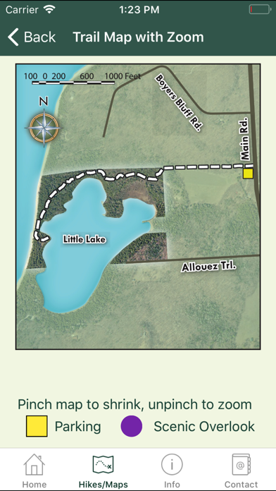
Shows trail maps, location and directions to 13 of the Door County Land Trust nature preserves. Includes info on ecological significance, plant types and wildlife observed while hiking. A paper map of these preserve locations was published in 2012, and this app is the electronic version of that map. In addition to the trail map images stored in the app, the app will locate the preserve with Apple Maps. The app also provides information on wise use of the preserves, the "Explore the Door" guided hikes program, and the Door County Land Trust's mission.
Latest release
What’s New
This app has been updated by Apple to prepare for watchOS 27 compatibility. No new features are included. Thank you for using the Door County Land Trust Hiking App! We were alerted to a bug where the app crashed when a map was clicked. We fixed this and now everything should be working smoothly again!
Audience growth
Ratings growth
Baseline captured. Growth appears after the crawler observes a changed rating count.
Momentum comes from crawler snapshots for the tracked storefront. “Viral growth signal” means unusually fast recent rating gains; it is an indicator, not download data.
Price tracking
Price intelligence
First snapshot captured. The trend line starts after the next crawler price observation.
- First observed Sep 1, 2026 · 2:05 PM Free
Screenshots