About this app
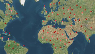
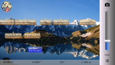
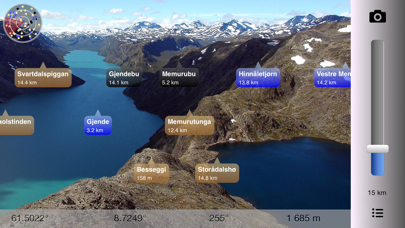
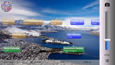
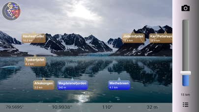
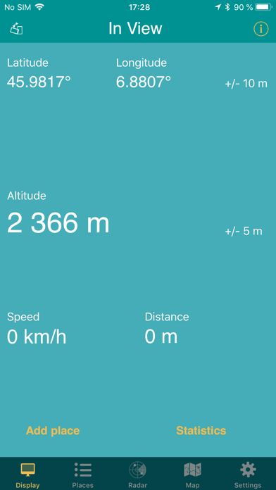
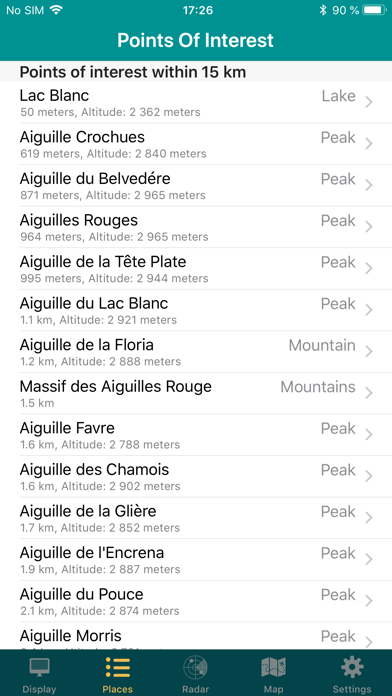
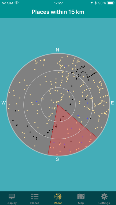
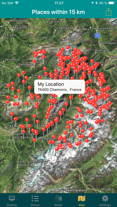
What is the name of the mountain you can see in the distance? What are the lakes you see in front of you? Point there with In View and you'll see on the screen what they are called. Also try our new free app "Wiki GO". * Offline Augmented Reality all over the world * See what's near you where you travel all over the world: Mountains, Lakes, Places, Buildings, etc. You don't even have to leave home: You can manually set your location to a place anywhere in the world to pretend you are there. Decide if you want to see places nearby, or famous cities around the world. Works everywhere: By the sea, in the mountains, in the city. Without the internet, without coverage. Turn the phone sideways to view on the camera screen the places that are nearby. Take a picture or record a video of what you see and share on social media, directly from the App! You can also add your own places! In View is also an altimeter, speedometer and also estimates the distance you've traveled. Choose between metric (km, meter) or imperial (miles, feet) units. All data is built into the App, so you don't need internet. You only need internet when you use the map or share a picture or video on social media. Select between the following map types: Standard, Satellite and Hybrid. In View relies on the compass and GPS of your device. Best results are achieved if you are outside (with Wi-Fi and cellular data switched off). Note that using a protective cover on your phone might interfere with the compass. One way to calibrate the compass is to move the phone in an 8-number manner 3 times: Once when the phone is in landscape, once in portrait and once facing up. Also stay away from magnetic sources that might influence the compass. EXTRA FEATURES (available as in-app purchases): * Geographical locations: In View displays a limited number of geographical locations from all over the world for free depending on your current location. These products offer all available geographical locations for a specific country or for the entire world. * Add places: Add your own geographical locations. * Set location: Set your location manually. * Fullscreen mode: Switch between normal, hybrid and fullscreen. * Selfie mode: See places nearby with front facing camera. * Video recording: Record what you see and share with friends. * Knot meter: Show speed units as knots. * More augmented reality: Extended view range by 50%. Search radius increased from 80 to 120 km (50 to 75 miles). Up to 5000 points of interest are displayed. * Maps: High resolution topographical maps. * Offline maps: Topographical offline maps. Source: ws.geonames.org under the Creative Commons Attribution 3.0 License (https://creativecommons.org/licenses/by/3.0/) High resolution maps and sea maps from the Norwegian Mapping Authority (https://www.kartverket.no) are licensed under the Creative Commons Attribution 4.0 international (CC BY 4.0) (https://creativecommons.org/licenses/by/4.0/deed.en) High resolution maps from the © Norwegian Polar Institute (https://geodata.npolar.no) are licensed under the Creative Commons Attribution 4.0 international (CC BY 4.0) (https://creativecommons.org/licenses/by/4.0/) High resolution maps from New Zealand Topographic Maps (www.nztopomaps.com) are sourced from Land Information New Zealand and are licensed under the Creative Commons Attribution 3.0 New Zealand license (CC BY 3.0 NZ) (https://creativecommons.org/licenses/by/3.0/nz) All the data in the OpenStreetMap database, including OpenSeaMap data, is made available under the Open Database License (https://opendatacommons.org/licenses/odbl/1.0/). Any rights in individual contents of the database are licensed under the Database Contents License (https://opendatacommons.org/licenses/dbcl/1.0/). Sea marks from OpenSeaMap is made available under the Creative Commons Attribution Share-Alike 2.0 license (https://creativecommons.org/licenses/by-sa/2.0/)
Latest release
What’s New
Places for Norway updated after the Regional and Municipal Reform of 2017. Dark mode support. Support for iOS 14 and iOS 15. Bug fixes.
Audience growth
Ratings growth
Baseline captured. Growth appears after the crawler observes a changed rating count.
Momentum comes from crawler snapshots for the tracked storefront. “Viral growth signal” means unusually fast recent rating gains; it is an indicator, not download data.
Price tracking
Price intelligence
First snapshot captured. The trend line starts after the next crawler price observation.
- First observed Sep 1, 2026 · 4:27 PM Free
Screenshots