About this app
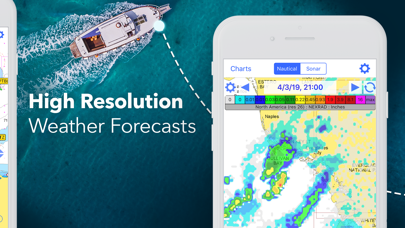
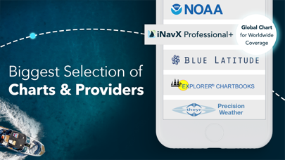
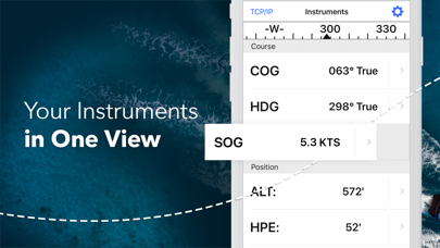
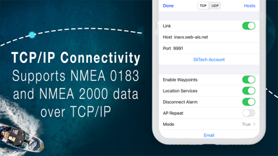
Marine navigation is made easy with iNavX - the world's #1 handheld Chartplotter. Access marine charts, maps, weather, AIS and more! iNavX is the only app to give you complete worldwide chart coverage, from all your favorite charts providers, including the ALL NEW iNavX Professional+ Chart series! Fully enabled with one-touch access, iNavX gives users access to the broadest set of marine charts and maps from multiple providers including: • iNavX Professional+ Charts • Blue Latitude • CHS • Explorer • Theyr Weather • Waterway Guide • … and more How does iNavX take handheld marine navigation to the next level? • Sailors - Plan sailing routes with waypoint and route management. Get proactive sail management with GRIB weather forecasts and then keep watch with AIS overlays and integration with your onboard systems. Plus, you can remember your great sailing locations by geotagging photos. • Boaters - Stay up to date on boating conditions with forecasts that include currents, winds, and swells. Manage your boating equipment with nautical instrument integration and then save great boating routes to share with the track log. • Anglers - Discover new fishing spots by scouting out holes and inlets. Locate the best fishing conditions by identifying cold fronts and save your best fishing spots with unlimited markers. Advanced features - iNavX is the most feature rich app available for all sailing and boating needs at a great price: Advanced Chart Plotter • Plot your position in real-time using your device's built-in GPS • Pan, zoom, and rotate charts (including course up) • Print detailed charts to use in combination with the app Advanced Navigation • Create waypoints and plan routes to navigate between them • Track log allows you to record your route • Import/export data in KML (Google Earth) or GPX format Advanced Instrumentation • Supports NMEA data over TCP/IP (using Wifi) • Integrates with external GPS, AIS receivers & transponders • Connect nautical instruments: Depth, Speed, Wind, Engine, Batteries, etc. Essential Toolkit • GRIB weather forecast • Tides/currents • Anchor alarm • AIS integration • Port/navaid search Download iNavX TODAY and automatically receive a complimentary copy of the official and up-to-date high-resolution NOAA RNC United States marine raster charts. REVIEWS “iNavX is the original and still one of the best navigation apps.” – Practical Sailor “The most full-featured navigation app around and viewed by many as the standard” – Sail Magazine "The #1 recommended marine charting app" - iMarineApps iNavX is Compatible with: Theyr Weather, Waterway Guide, AIS, Brookhouse, DigitalYacht, ShipModul, vYacht, Vesper Marine, NMEA 2000, Chetco and more. NEW CHART STORE Purchase all your favorite charts. Chart subscriptions vary by chart and provider from $9.99 to $199.99 annually, charged to your iTunes Account, which will automatically renew unless cancelled at least 24 hours before the end of the current period. Auto-renew can be turned off anytime by going to your Account Settings in iTunes after purchase. No cancellation of the current subscription is allowed during active subscription period. NOTE: Continued use of GPS running in the background can dramatically decrease battery life. MORE INFO Website: http://inavx.com/ User's Guide: http://inavx.com/help/ Terms of Use: http://inavx.com/terms Privacy Policy: http://inavx.com/privacy
Latest release
What’s New
New charts for Hong kong and Montenegro.
Audience growth
Ratings growth
Baseline captured. Growth appears after the crawler observes a changed rating count.
Momentum comes from crawler snapshots for the tracked storefront. “Viral growth signal” means unusually fast recent rating gains; it is an indicator, not download data.
Price tracking
Price intelligence
- First observed Aug 16, 2026 · 4:52 PM Free
Screenshots