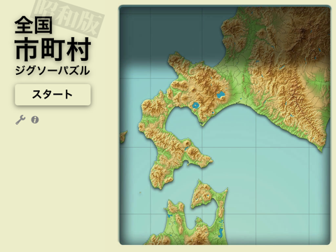
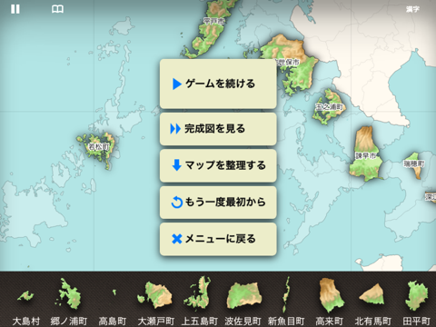
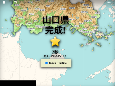
About this app
This is a sister app of "Japanese municipalities". In this version, I used the data of 1985, the era before the great merger of Heisei. Not reccomended for young people. *** - Current (2015) municipal boundaries are drawn on map for comparison, but I guess it is not so helpful. · Minami-torishima and Okino-torishima is omitted because the map gets too large. · IOS6.0 or later · IPhone or iPad · Coastline data in some places are based on the data of '90s. It may differs from the data of 1985. Sound Effect: Maoudamashii Texture: Wilmotte Bastien Icon: The Working Group Inc. National Land Information (administrative district data) Ministry of Land, Infrastructure and Transport
Latest release
What’s New
This update from Apple will improve the functionality of this app. No new features are included. - Move horokanai town from Kamikawa Sub-prefecture to Sorachi Sub-prefecture. It was a critical mistake. - Add missing Tsukigata village in Niigata Prefecture.
Audience growth
Ratings growth
Baseline captured. Growth appears after the crawler observes a changed rating count.
Momentum comes from crawler snapshots for the tracked storefront. “Viral growth signal” means unusually fast recent rating gains; it is an indicator, not download data.
Price tracking
Price intelligence
First snapshot captured. The trend line starts after the next crawler price observation.
- First observed Aug 10, 2026 · 5:15 PM Free
Screenshots