About this app
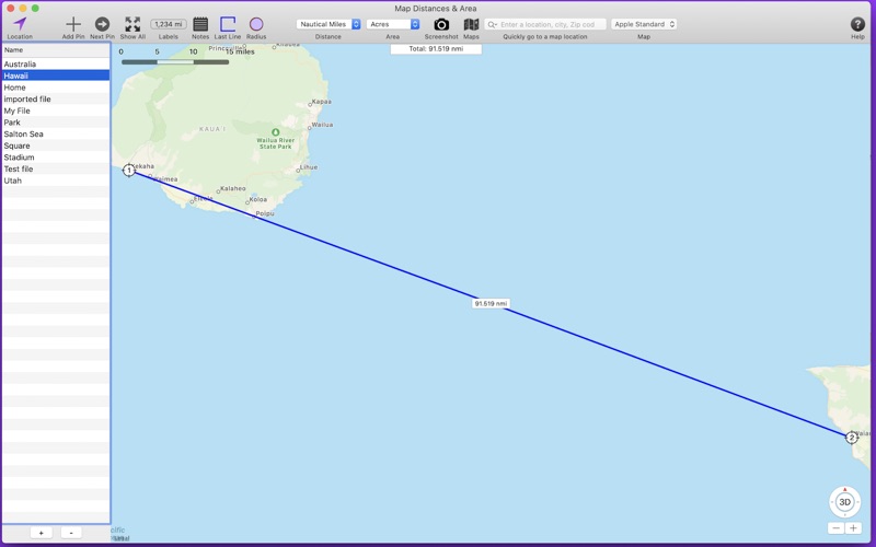
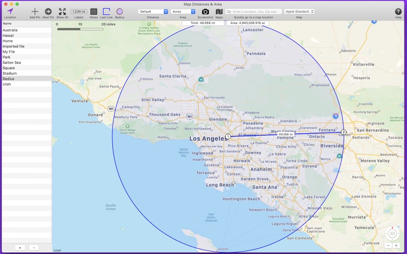
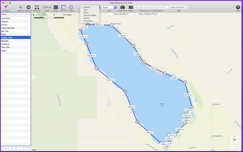
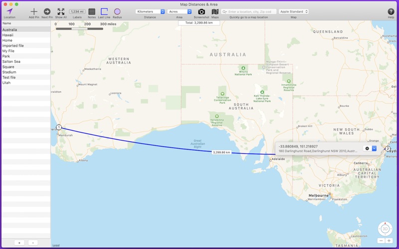
Map Distances & Area allows you to populate a map with map pins. The distance between the map pins is displayed as well as the area within the map pins. A circle can be displayed using one pin as the circle center and another pin as the radius distance. Features include: . . Create an unlimited number of separate files that contain different sets of map pins. . Choose between different distance and area units such as feet, meters, and hectares. . Add notes to any file. . Import GPX files. Waypoints become map pins. Tracks and routes can be displayed for reference. . Export as a GPX file. . Import and export s file as backup copy or send to other team members. . Add map pins by shift-clicking on the map, or enter an address or coordinate values. . Drag a map pin to new locations as needed. . Map pins are numbered for easy identification. . Choose between Apple Maps or OpenStreet Maps. . Distance between map pins easily readable. . Zoom to a selected map pin. . Send map pin locations to Apple Maps. . Save a screenshot of the map to disk. . Optionally connect first and last map pin to create an enclosed area. . Get latitude, longitude and location of the selected map pin. . Easy to Use! Please contact us regarding bug reports, complaints, suggestions and comments.
Latest release
What’s New
- Enhanced GPX import. If the imported GPX file contains routes or tracks, you can optionally import them for display purposes to help create distance measurements. - Miscellaneous bug fixes and app enhancements.
Audience growth
Ratings growth
Baseline captured. Growth appears after the crawler observes a changed rating count.
Momentum comes from crawler snapshots for the tracked storefront. “Viral growth signal” means unusually fast recent rating gains; it is an indicator, not download data.
Price tracking
Price intelligence
First snapshot captured. The trend line starts after the next crawler price observation.
- First observed Sep 13, 2026 · 8:01 PM Free
Screenshots