About this app
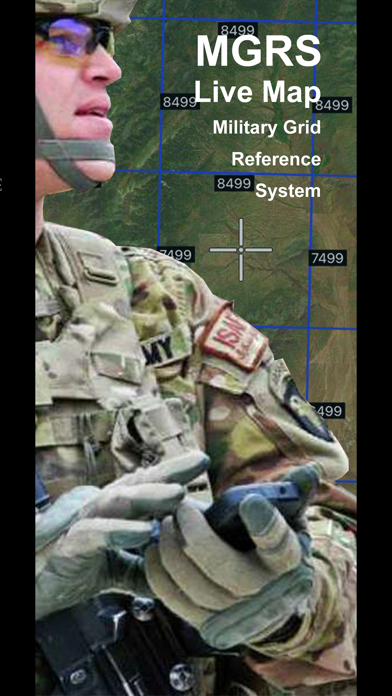
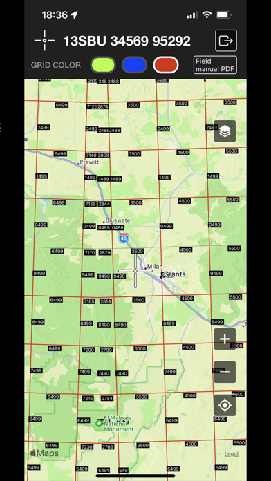
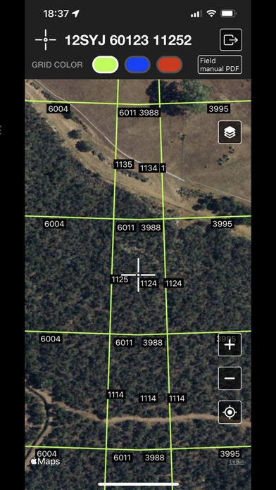
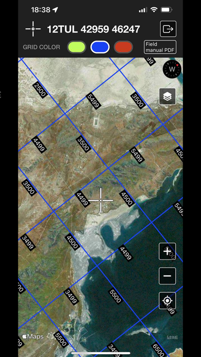
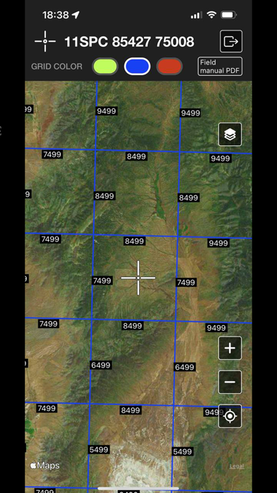
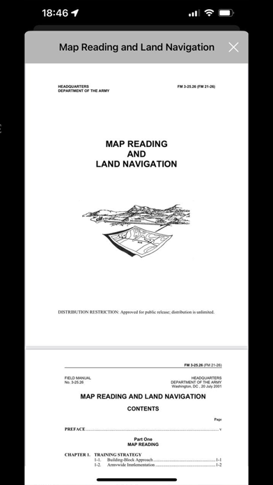
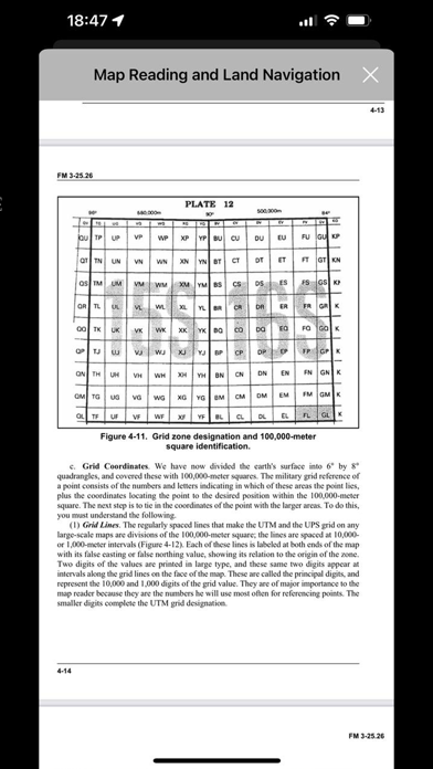
The map is displayed by GISsurfer which is a general purpose map based on the Apple map. For a description of all the features of GISsurfer that support MGRS coordinates (search, geolocation, etc) USNG stands for U.S. National Grid. MGRS and USNG are the same except MGRS is often written without spaces. If you know MGRS then you already know USNG. The purpose of this field manual is to provide a standardized source document for Armywide reference on map reading and land navigation. This manual applies to every soldier in the Army regardless of service branch, MOS, or rank. This manual also contains both doctrine and training guidance on these subjects. Part One addresses map reading and Part Two, land navigation. The appendixes include a list of exportable training materials, a matrix of land navigation tasks, an introduction to orienteering, and a discussion of several devices that can assist the soldier in land navigation.
Audience growth
Ratings growth
Baseline captured. Growth appears after the crawler observes a changed rating count.
Momentum comes from crawler snapshots for the tracked storefront. “Viral growth signal” means unusually fast recent rating gains; it is an indicator, not download data.
Price tracking
Price intelligence
First snapshot captured. The trend line starts after the next crawler price observation.
- First observed Sep 5, 2026 · 7:39 PM $5.99
Screenshots