About this app
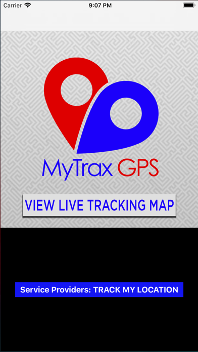
The MyTrax GPS app allows transit customers to view the live positions of transit vehicles (such as shuttles, trams, and buses) on a user-friendly map. The map displays current position and directionality, information about routes and stops, and other important transit features. Have you ever been waiting for an airport shuttle or a bus and wondering how long the wait will be? Have you ever waited at a bus stop in the rain because the bus could be there at any time without warning? With this app, those scenarios could be a thing of the past.* This app also allows transit providers and fleet managers to track their vehicles, so that their positions can be displayed to the public or their own dispatchers. *Requires transit service to participate in the MyTrax GPS program
Latest release
What’s New
Fix for issue that was locking out map views on newer devices
Audience growth
Ratings growth
Baseline captured. Growth appears after the crawler observes a changed rating count.
Momentum comes from crawler snapshots for the tracked storefront. “Viral growth signal” means unusually fast recent rating gains; it is an indicator, not download data.
Price tracking
Price intelligence
First snapshot captured. The trend line starts after the next crawler price observation.
- First observed Sep 1, 2026 · 3:29 PM Free
Screenshots